Dec 05, 2017 - Sale 2464

Sale 2464 - Lot 37

Price Realized: $ 6,500
?Final Price Realized includes Buyer’s Premium added to Hammer Price
Estimate: $ 2,500 - $ 3,500
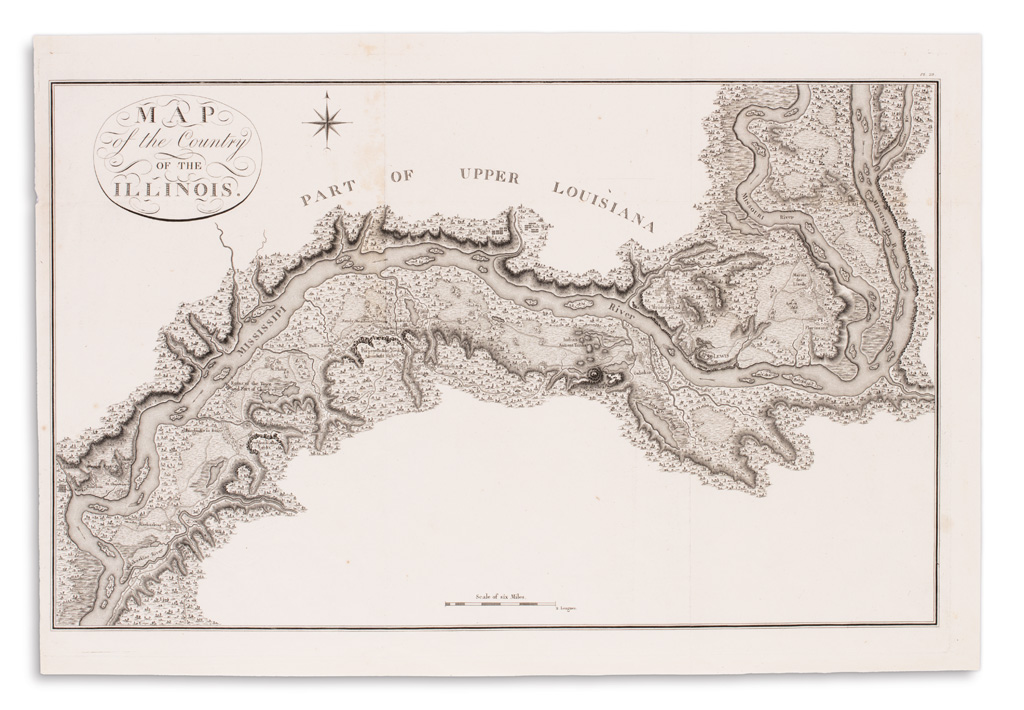
COLLOT, GEORGES HENRI VICTOR. Map of the Country of the Illinois. Engraved folding map on laid paper. 17x25 inches sheet size, ample margins; faint discoloration along upper fold, very minor flaw at upper left margin. Paris, 1826

Additional Details

One of several landmark maps that appeared in Collot's Voyage dans L'Amerique Septentrionale, which was the result of his secret reconnaissance down the Ohio and Mississippi Rivers under direction of the French government in 1796 to scout the borderlands between the United States and Spanish territories. In this map Collot details a stretch of the Mississippi River from her confluence with the Missouri at St. Louis (St. Lewis) to Kaskaskia, the earliest French settlement in the American Midwest.