Dec 08, 2005 - Sale 2060

Sale 2060 - Lot 118

Price Realized: $ 632
?Final Price Realized includes Buyer’s Premium added to Hammer Price
Estimate: $ 500 - $ 750
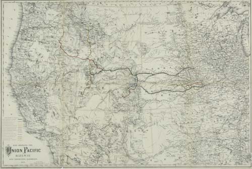
COLTON, G. W. and C. B. Map showing the Union Pacific Railway and Connecting Railroads. Lithographed folding map, 580x865 mm overall; hand-colored in outline and with lines of 12 railroads additionally colored in outline. New York, 1885

Additional Details


The Coltons' map was included in the Report of the Directors of the Union Pacific Railway Company to the Stockholders for the Year ending December 31, 1884. Map shows the western United States from Chicago on Lake Michigan and New Orleans on the Mississippi on the east to the Pacific on the west.