Dec 17, 2019 - Sale 2527

Sale 2527 - Lot 42

Price Realized: $ 292
?Final Price Realized includes Buyer’s Premium added to Hammer Price
Estimate: $ 300 - $ 500
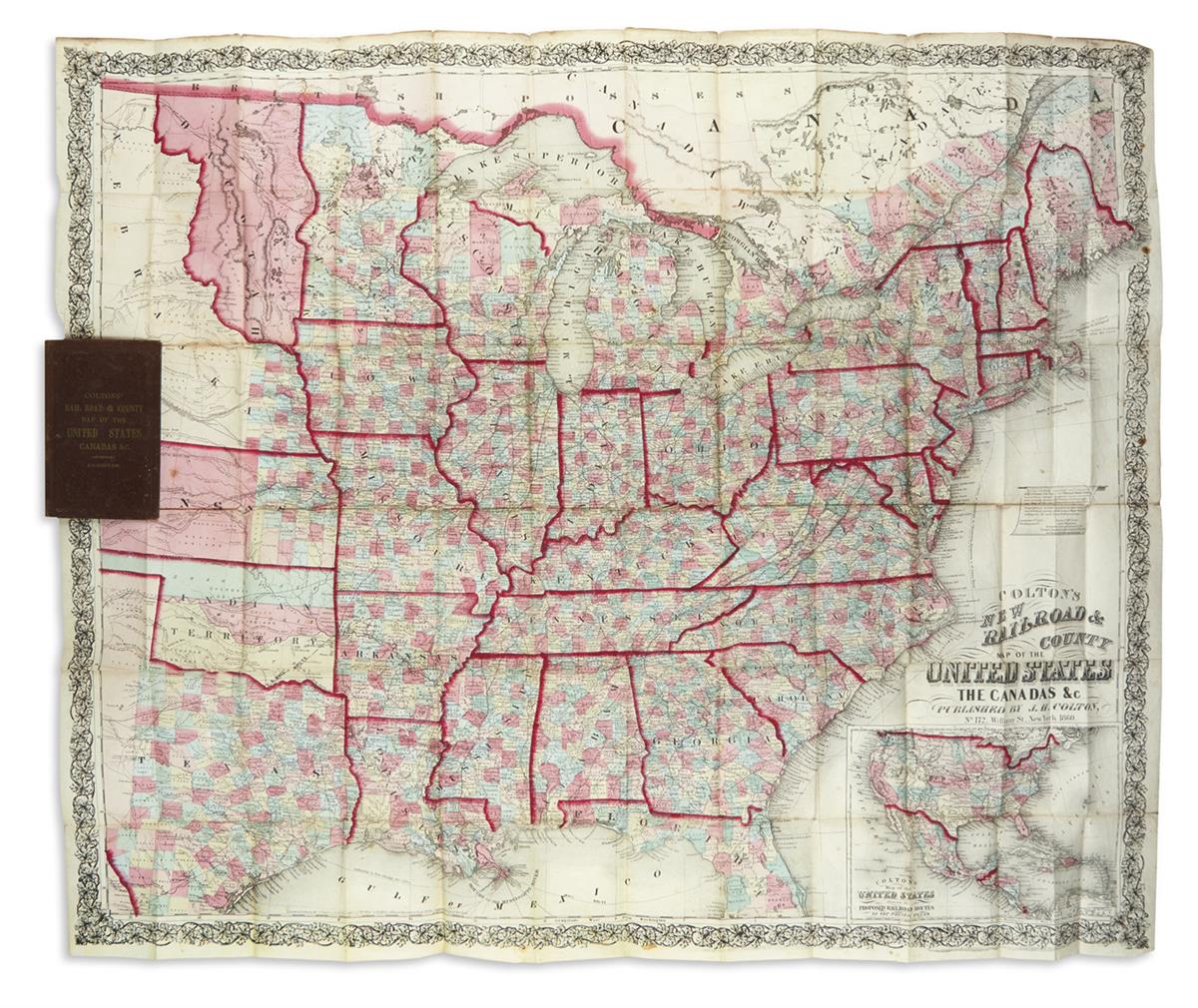
COLTON, JOSEPH HUTCHINS. Colton's New Rail Road & County Map of the United States, the Canadas &c. Large hand-colored lithographed pocket map of the eastern United States with a small inset of the entire country at lower right, all within an ornate decorative border. 33x39 inches overall, folding into publisher's 8vo format gilt and blind cloth case; light staining and small splits along several folds, attractive original coloring. New York: J.H. Colton, 1860

Additional Details

From a printed banner inset above the title: "Having carefully examined and compared J.H. Colton's New Map of the 'United States' with the United States Surveys it appears more carefully and correctly drawn and better executed than any map of the size I have ever seen, and I am fully convinced that there is as much correct geographical matter compiled in this sheet as can be found on any of the larger maps that are selling for six and seven dollars a copy." James P. McLean, Civil Engineer, formerly draughtsman in the United States General Land Office, September 1st, 1858.