Jul 09, 2020 - Sale 2540

Sale 2540 - Lot 58

Price Realized: $ 10,625
?Final Price Realized includes Buyer’s Premium added to Hammer Price
Estimate: $ 8,000 - $ 12,000
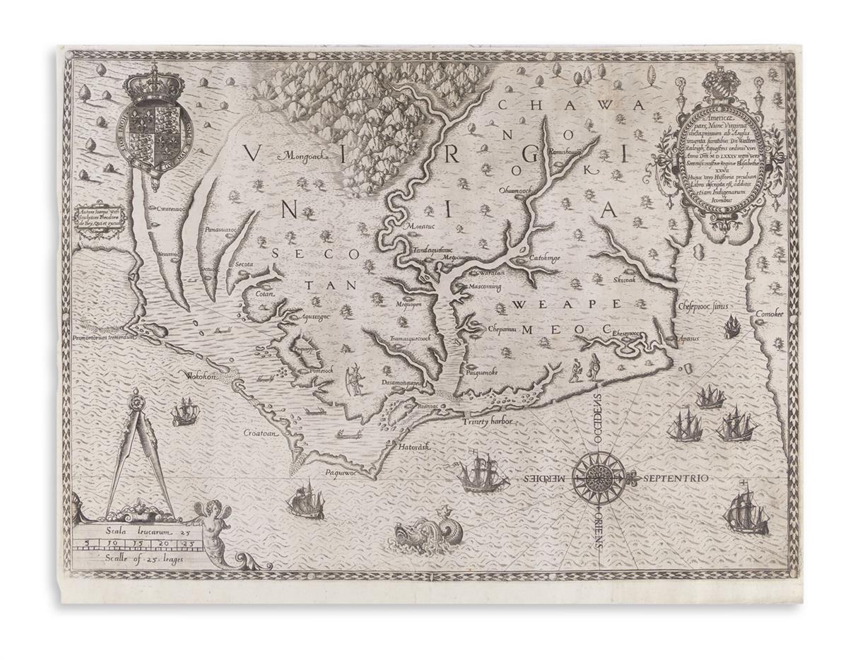
DE BRY, THEODOR; after WHITE, JOHN. Americae pars, Nunc Virginia. Engraved map of the Chesapeake Bay and Outer Banks. 12 1/2x16 3/4 inches sheet size, lower margin wide, others narrow; expertly flattened and with minor edge repairs. Frankfurt, 1590

Additional Details

the first printed map to name the chesapeake bay; the first map with "virginia" in the title; the first map showing in accurate detail any part of what is now the united states.

"Theodore de Bry's map of Virginia, after John White, is one of the most significant cartographical milestones in colonial North American history. It was the most accurate map drawn in the sixteenth century of any part of that continent" -- Burden 76 (second state with "C" superimposed upon "Ehisepiooc").