Dec 08, 2016 - Sale 2434

Sale 2434 - Lot 51

Price Realized: $ 6,000
?Final Price Realized includes Buyer’s Premium added to Hammer Price
Estimate: $ 4,000 - $ 6,000
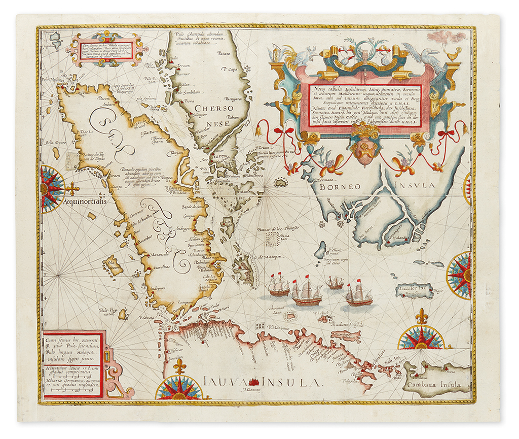
DE BRY, THEODORE. Nova tabula Insularum Javae, Sumatrae, Borneonis et aliarum Mallaccam usquae delineata in insula Java... Engraved map of the Java Sea and East Indies. 16x18 3/4 inches sheet size; hand-colored; originally folding, but flattened, few small areas of strengthening on verso, partial left margin reinstated where originally trimmed away for binding purposes. Frankfurt, [1598]

Additional Details

This important and consequential map focusing on the islands of Java, Sumatra, Borneo, southern Malaysia and modern-day Singapore ("C de Cinca/pura") is the earliest obtainable European map to greatly detail the area, presenting unprecedented information for the day. Published in part II of De Bry's Petit Voyages, the geography is based on the work of Willem Lodewijcksz, compiled in his log while aboard Cornelis de Houtman's voyage to the Indies in 1595 which cemented the Dutch presence in the East Indies and led to their domination of the spice trade in the seventeenth century. Sometimes referred to as the "forbidden map" because a slightly preceding publication of the Lodewijcksz log titled "Historie van Indien" by Cornelis Claesz in 1598 makes mention of his map, but sway of merchant fear to distribute such hotly coveted information about the lucrative Spice Islands prevented its inclusion in the earlier work.