Dec 05, 2017 - Sale 2464

Sale 2464 - Lot 53

Price Realized: $ 4,750
?Final Price Realized includes Buyer’s Premium added to Hammer Price
Estimate: $ 7,000 - $ 10,000
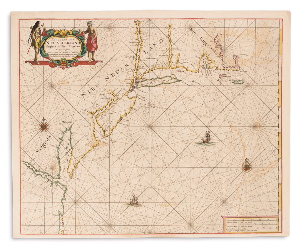
DONCKER, HENDRICK. Pascaert van Nieu Nederland, Virginia en Nieu Engelant. Double-page engraved chart of Virginia and New England. 18 1/2x22 1/2 inches sheet size, ample margins; original hand-color with mineral pigments oxidizing on verso; light offsetting. Amsterdam, 1660

Additional Details

One of the first maritime maps of New Netherland, preceded only by Theunis Jacobsz' first issue of 1650 and that of Arnold Colom in 1656. Closely following the Colom chart, Doncker attractively renders the eastern coastline from the Chesapeake Bay to Cape Cod, balancing the land with radiating rhumb lines, compass roses and sailing ships in the sea. Burden 348, first state.