Dec 05, 2017 - Sale 2464

Sale 2464 - Lot 54

Price Realized: $ 10,000
?Final Price Realized includes Buyer’s Premium added to Hammer Price
Estimate: $ 8,000 - $ 12,000
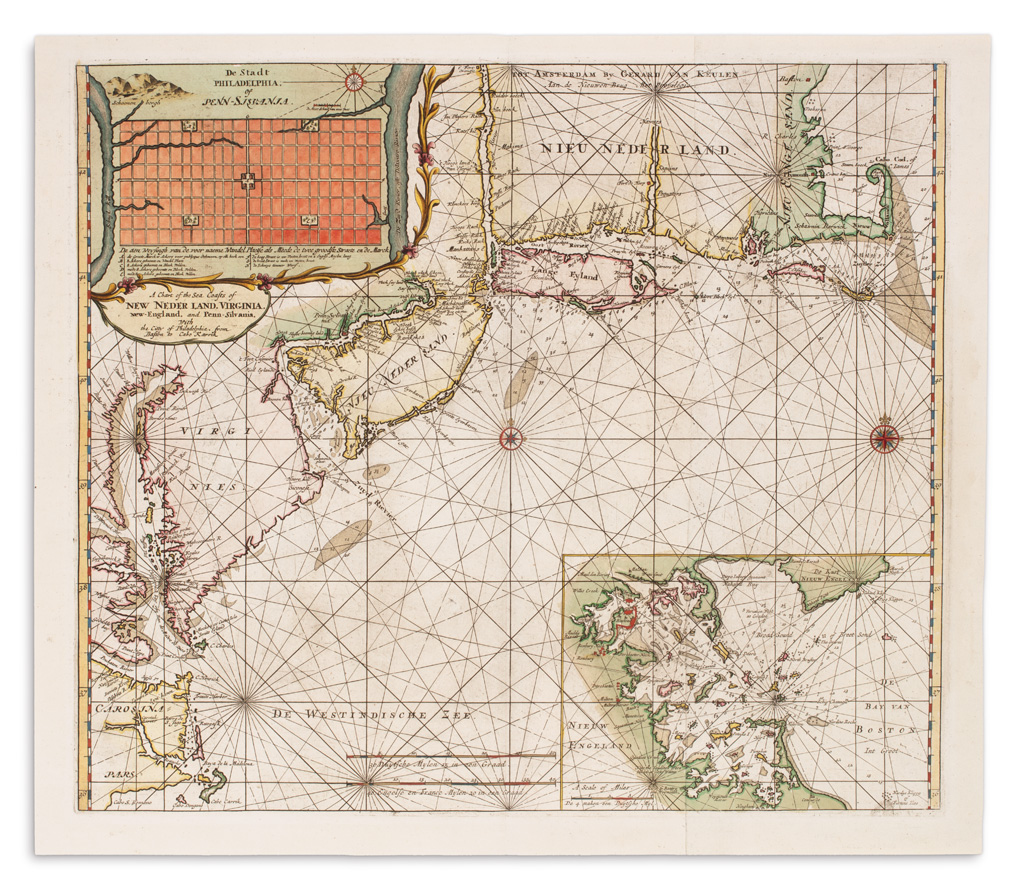
DONCKER, HENDRICK; and KEULEN, GERARD van. A Chart of the Sea Coasts of New Neder Land, Virginia, New-England, and Penn-Silvania with the Citty of Philadelphia from Baston to Cabo Karrik. Double-page engraved chart of the North American east coast from the Outer Banks to Cape Cod on two sheets of laid paper joined. 22x25 1/2 inches sheet size, wide margins; original hand-color with mineral pigments oxidizing on verso; an exceptional example. Amsterdam, circa 1706

Additional Details

The first state of this ambitious chart was engraved and published by Doncker in 1688. The van Keulens acquired the plate, adding the imprint of Gerard and re-working the cartouche in the lower right, replacing it with a large plan of Boston harbor. The inclusion of the plan of recently founded Philadelphia after the survey by Thomas Holme and the chart of Boston Harbor perfectly signify the strong Dutch interest in commercial trade within the region at the time. Burden 644, state 2.