Jun 07, 2017 - Sale 2450

Sale 2450 - Lot 55

Price Realized: $ 469
?Final Price Realized includes Buyer’s Premium added to Hammer Price
Estimate: $ 700 - $ 1,000
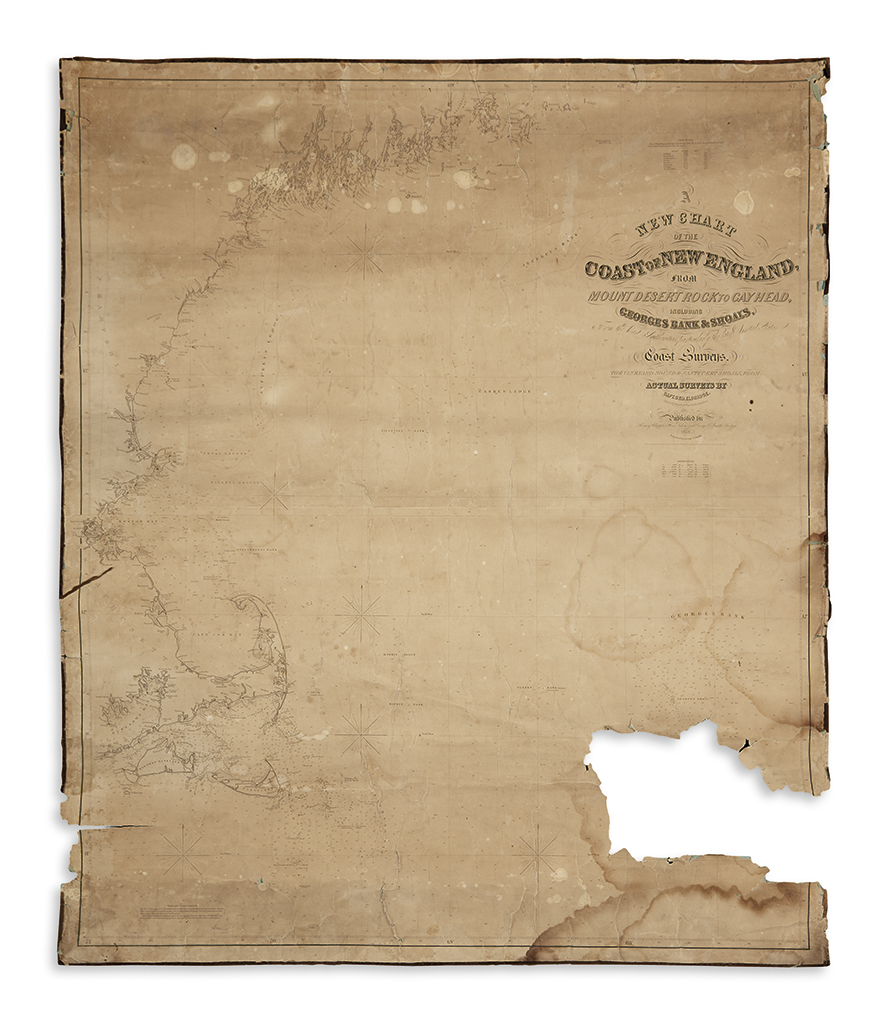
ELDRIDGE, GEORGE. A New Chart of the Coast of New England, from Mount Desert Rock to Gay Head. Large engraved map on two sheets joined, backed on original linen. 44x37 inches overall; toned and stained, edges frayed, large loss at lower right. Salem and Boston: Henry Whipple and George Smith, 1856

Additional Details

An early production by one of America's leading chart maker's of the mid-nineteenth century. Much of the information is from the latest U.S. Coast Surveys, but the Vineyard Sound and Nantucket Shoals are from actual surveys by Eldridge. Despite its unfortunate condition, this rare chart remains appealing for its highly accurate coastal information of Martha's Vineyard, Nantucket, Cape Cod, and Boston up to Penobscot Bay.