Jun 07, 2017 - Sale 2450

Sale 2450 - Lot 58

Price Realized: $ 292
?Final Price Realized includes Buyer’s Premium added to Hammer Price
Estimate: $ 300 - $ 500
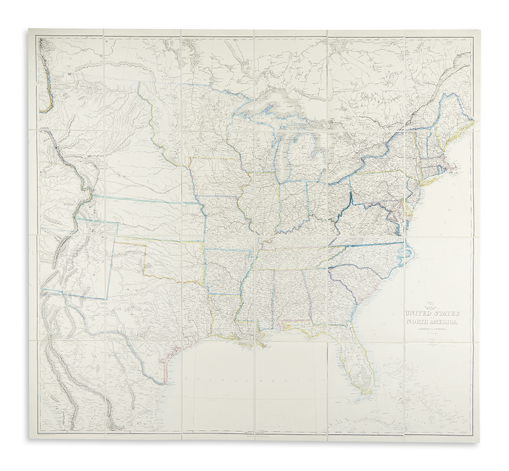
ETTLING, THEODOR. United States of North America (Eastern & Central). Large map of North America west to the Rocky Mountains dissected into 24 sections and laid on linen. 35x38 inches overall; clean. Drawn and engraved by Ettling, transfer lithography by Day & Son. London: Weekly Dispatch, circa 1858

Additional Details

Showing the United States as it appeared just prior to the Civil War in a neatly detailed, highly British manner. Earlier by comparison to other copies we've seen, with borders of the Minnesota, Nebraska and Kansas Territories still expansive; there are no Dakota or Colorado Territories yet established and a portion of the still existing Oregon Territory just extends into the western regions of what is shown here.