Sale 2512 - Lot 63
Price Realized: $ 100,000
Price Realized: $ 125,000
?Final Price Realized includes Buyer’s Premium added to Hammer Price
Estimate: $ 30,000 - $ 50,000
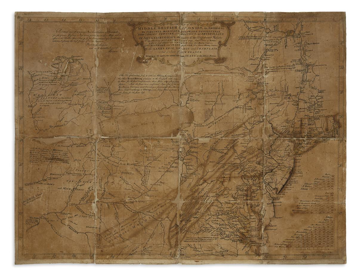
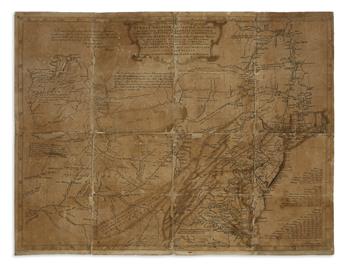
EVANS, LEWIS. A General Map of the Middle British Colonies, in America; viz Virginia, Mariland, Delaware Pensilvania, New-Jersey New-York, Connecticut, and Rhode Island of Aquanishuonigy, the Country of the Confederate Indians Comprehending Aquanishuonigy Proper, their Place of Residence, Ohio and Tiiuxsoxruntie Their Deer-Hunting Countries, Couxsaxrage and Skanidarade, Their Beaver-Hunting Countries; Of the Lakes Erie, Ontario and Champlain, and Part of New-France Wherein is Also Shewn the Antient and Present Seats of the Indian Nations. Engraved map with contemporary manuscript additions. 20 1/2x26 3/4 inches sheet size, ample margins; contemporary hand-coloring; folded and backed on later linen, age toned, small losses at fold intersections; initials "RBA" in early ink visible through linen on verso; "Lewis Evans ... ... May 2, 1755" in neat manuscript at lower right. [Philadelphia, 1755]
Additional Details
Lewis Evans' General Map of the Middle British Colonies in America was one of the most significant and influential maps published in Colonial America. On it, Evans described the land beyond the British frontier into the Ohio territory with great amounts of new information, so offering potential settlers, speculators and military officials the most detailed and accurate look at the lands to the west thereto printed on a map.
The map was so widely accepted and approved by the contemporary audience that it was borne unto seemingly countless instances of re-publishing by many firms and into many languages for the remainder of the eighteenth-century.
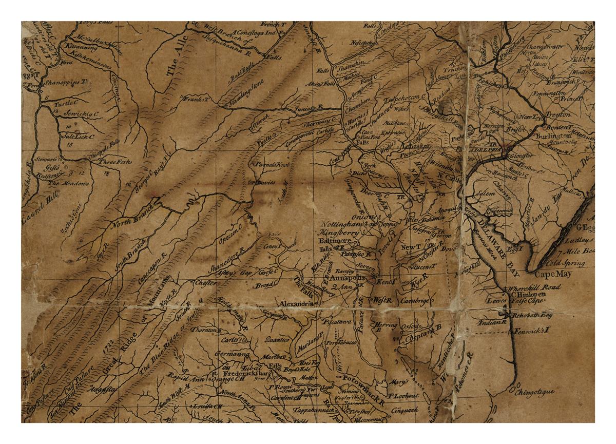
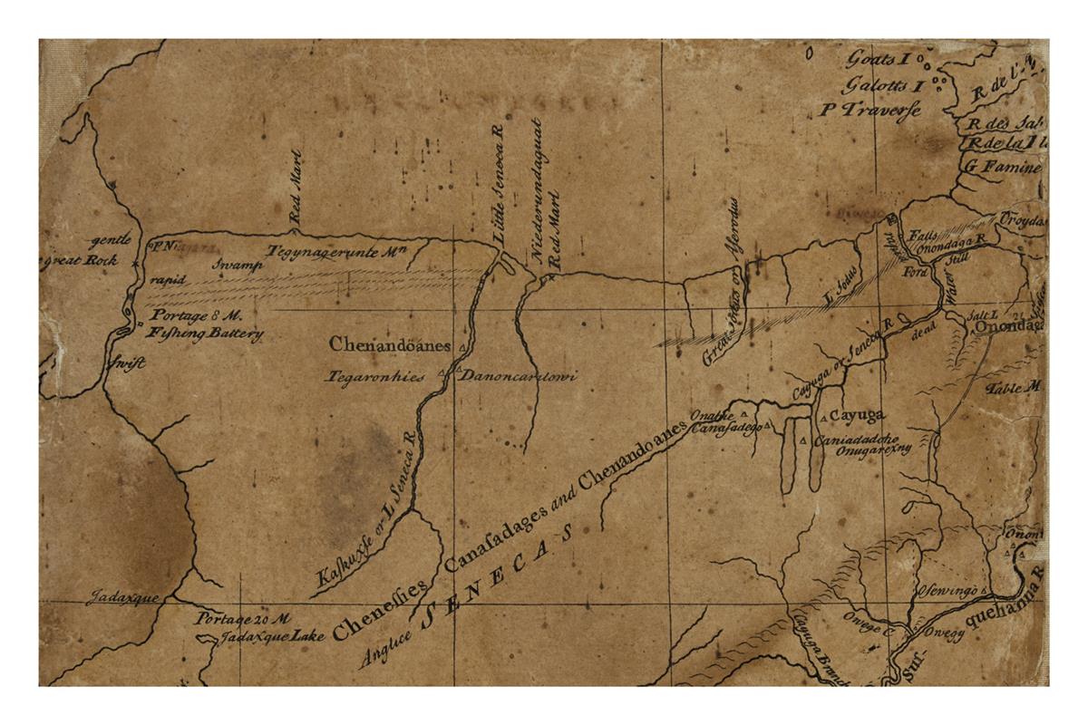
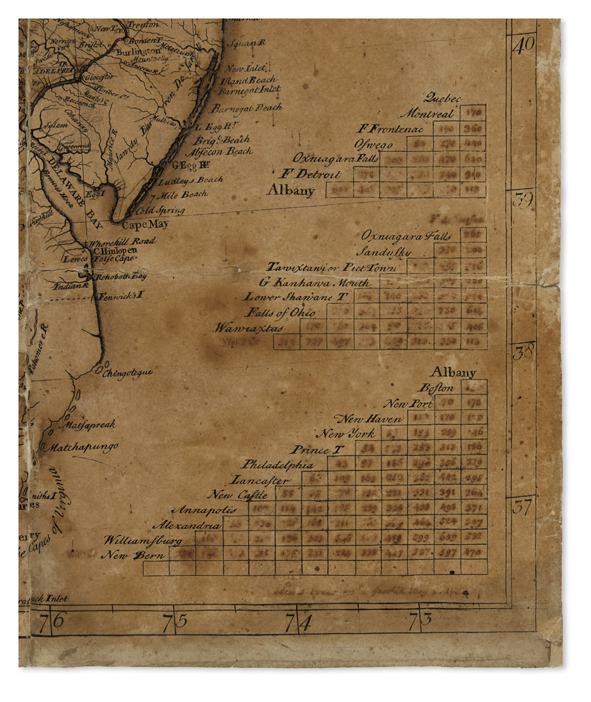
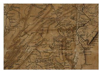
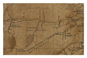
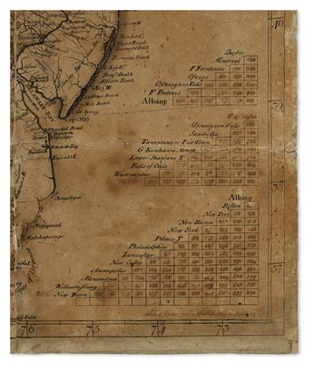
Rarely, if ever, has a piece of an important eighteenth-century map's publication story been preserved or offered for sale. This is a unique opportunity to be a part of Lewis Evans' decision-making process and the cultivation of his map towards its final version. The present map was struck from the plate as a working proof-state, perhaps 75% complete, allowing the maker to evaluate its progress. The general cartography is laid down, but the finishing details are all lacking, most notably Evans' own engraved name, the engraver Benjamin Turner's name, cartouches and insets, tables, anecdotes and the publishing imprint. Virtually all the major place names and toponyms seen on the finished map do not appear. Evans has written several of these names and filled the distance tables at lower right in manuscript to be later engraved. Below the tables is an ink signature: "Lewis Evans ... May 2, 1755".
Here we have the maker of an eighteenth-century American map literally signing off on the work-in-progress printing of his map, which would go on to have historic implications, 53 days before it was finished and ready for official publication on June 23rd, 1755. It is an artifact as much as it is a map, the sort of item generally deemed impossible, or at least improbable to survive to modern times. Yet this unlikeliest of documents has now surfaced, yea for the appreciation of students and scholars of cartography, American Colonial history, and printing processes. Wheat and Brun 298; Schwartz & Ehrenberg page 162; Stevens, 'Lewis Evans', chapter II; Klinefelter, 'Lewis Evans and His Maps'.
Exhibition Hours
Exhibition Hours
Aliquam vulputate ornare congue. Vestibulum maximus, libero in placerat faucibus, risus nisl molestie massa, ut maximus metus lectus vel lorem.


