Dec 08, 2011 - Sale 2264

Sale 2264 - Lot 13

Price Realized: $ 14,400
?Final Price Realized includes Buyer’s Premium added to Hammer Price
Estimate: $ 15,000 - $ 25,000
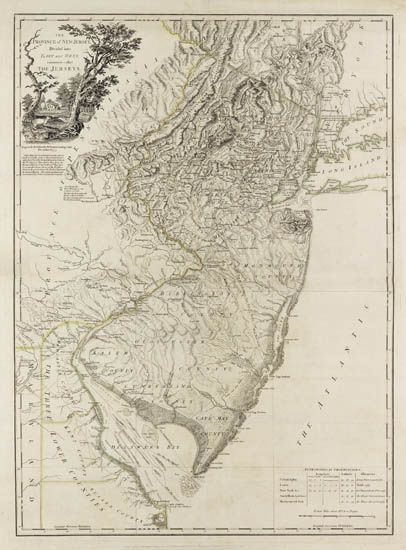
THE RATZER MAP FADEN, WILLIAM. The Province of New Jersey, Divided into East and West, commonly called The Jerseys. Engraved folding map, 800x585 mm, nice wide margins; hand-colored in outline; very slight loss in Cape May County expertly restored, one small repair at one fold, few minor repairs in margins on verso; early manuscript inked notation on verso identifying the map. London, 1777

Additional Details

" . . . often regarded as the most important general map of New Jersey during the revolutionary period" - Schwartz and Ehrenberg, page 188.
"The Faden map, at about 7 miles/inch, followed a survey made in 1769 to assist the Boundary Commission in settling the century-old dispute between New York and New Jersey. The survey was executed by Bernard Ratzer, a Lieutenant in the Royal Artillery" - Snyder, pages 57-60. Stevens & Tree 37(a). The map rarely appears at auction in such nice condition.