Jun 06, 2019 - Sale 2512

Sale 2512 - Lot 68

Price Realized: $ 5,250
?Final Price Realized includes Buyer’s Premium added to Hammer Price
Estimate: $ 2,000 - $ 3,000
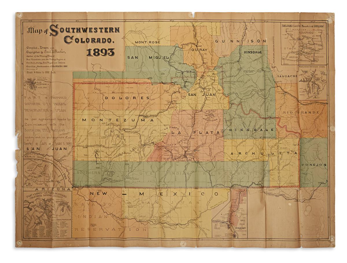
FISCHER, EMIL B. Map of Southwestern Colorado. Large color-lithographed folding map. 33x45 1/2 inches sheet size, wide margins; age toning, several brief splits along fold lines, small damages and tack holes at margins; early annotations in graphite and blue pencil; ink stamp "From the Office of Richard McCloud attorney at law, Late Register U.S. Land Office, Durango, Colorado" at lower right and verso. Durango(?), CO, 1893

Additional Details

The almost quirky, shaky hand of Fischer's original drawing reproduced in lithography does much to belie the faculty of Colorado's premier independent nineteenth-century mapmaker. At a scale of 4 miles to 1 inch, the meticulously detailed topography instills a sense of accuracy and realness to any viewer. We can clearly understand why his maps were so desirable and indispensable in the days of their publication. Mining was a primary interest in Fischer's maps, and here he focuses here on the San Juan and La Plata districts of southwestern Colorado. Several insets showing existing mines and proximity to potential new opportunities include: Railroad Systems Reaching Durango; Plat of Needle Mountain Mines; a Plan of Durango; Plat of Mines at La Plata Mountains, California Mining District; and Plat of San Juan Co., Utah.

There are several early annotations drawn in blue crayon: a place called Newton just northeast of Durango on the Florida River, and an outline of a winding trail cutting across lower Hinsdale County. The trail begins at the Pine (Los Pinos) River just below Emerald Lake and extends across the wilderness to the Hot Springs at Wagon Wheel Gap on the Rio Grande just below the town of Creede. It is right about where this trailhead begins that the Pine was dammed and now terminates at the Vallecito Reservoir.