Dec 08, 2015 - Sale 2401

Sale 2401 - Lot 47

Unsold
Estimate: $ 20,000 - $ 30,000
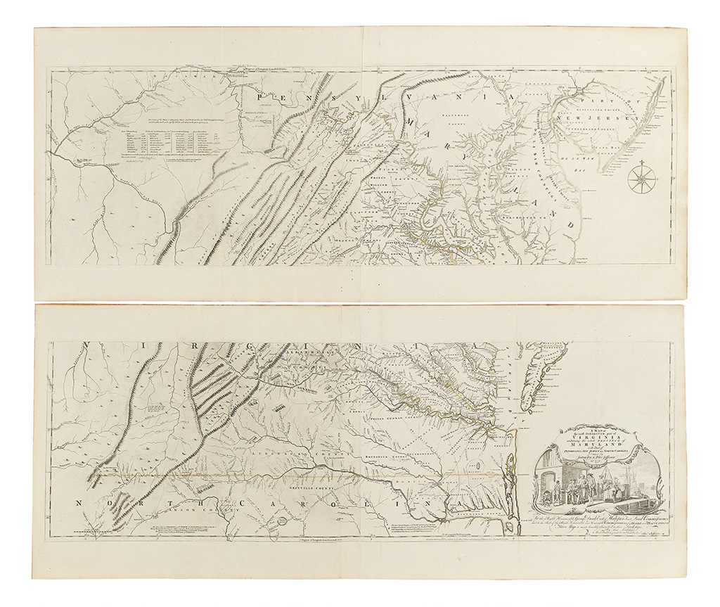
FRY, JOSHUA; and JEFFERSON, PETER. A Map of the most inhabited part of Virginia containing the whole Province of Maryland. Engraved four-sheet map, horizontal sheets joined as usual. 535x1270 mm (north sheet), 540x1285 mm (south sheet), wide margins, faded outline hand-color; very few expert reinforcements on verso. Handsome example. London: Robert Sayer & Thos. Jefferys, 1775

Additional Details

"Joshua Fry and Peter Jefferson's Map of the [Most] Inhabited Part of Virginia has long been recognized as the definitive eighteenth-century cartographic document for the colony of Virginia. For the first time, virtually the entire river system of the colony is laid down on a printed map, including the two forks of the Shenandoah River. It is the first to accurately portray the Blue Ridge Mountains, the Valley of Virginia, and the multiple ridges of the Appalachian Mountains, all running diagonally in their true northeast-southwest direction. The colony's road system is shown for the first time in any detail. The eastern sheets are crowded with the names of planters and their seats, a wealth of information for historians and genealogists. The map remained the prototype for all depictions of Virginia until the nineteenth century." -- Taliaferro, "Fry and Jefferson Revisited", state 7. Cumming 449; Stevens & Tree 87(f); Verner, state 6.