Dec 08, 2005 - Sale 2060

Sale 2060 - Lot 66

Price Realized: $ 2,070
?Final Price Realized includes Buyer’s Premium added to Hammer Price
Estimate: $ 800 - $ 1,200
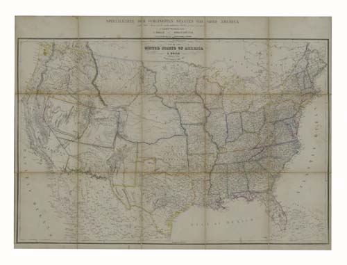
HOLLE, L. Map of the United States of America. Hand-colored lithographed case map in 15 sections, 655x886 mm overall; lightly toned; linen-backed; folds into the original 8vo format cloth-backed case, covers quite worn and stained, manuscript title on front cover added by a former owner. Wolfenbuettel, 1851

Additional Details


Map shows the United States from coast to coast with a large part of Mexico. The west is in its early development stage and the map is very up-to-date for 1851. Large Oregon, Nebraska, Utah, New Mexico Territories and California are shown with quite a lot of detail. In Utah in the area of present day Salt Lake City a town is named "New Jerusalem (Mormon Ft.)", the Gold Region is clearly labeled in California, the area of Santa Fe in New Mexico is crowded with numerous place-names. Much of this is probably due to maps by Henry Tanner, to whom Holle gives credit on the map. Phillips, Maps, page 901. Not in Rumsey or Wheat.