Jun 19, 2003 - Sale 1974

Sale 1974 - Lot 95

Price Realized: $ 1,955
?Final Price Realized includes Buyer’s Premium added to Hammer Price
Estimate: $ 2,000 - $ 3,000
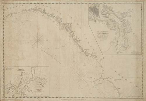
HOOKER, WILLIAM. Untitled roll map of the coast from Cape Fear, North Carolina to St. Augustine, Florida, with insets of Charleston Harbour and the entrance to St. John's River, 690x990 mm overall; the lighthouses colored in red; minor toning, foxing and staining; paper-backed with heavy blue paper as issued, linen stitched to the edges, and the original linen ties intact. New York: Blunt, 1842

Additional Details


This roll map is oriented with north to the east, showing the coasts of northern Florida, Georgia, and the Carolinas, and was published for use by ships captains navigating the waters, with detailed information concerning the depth of the water, the locations of various inlets and identifying shoals and other impediments.