Jun 07, 2018 - Sale 2481

Sale 2481 - Lot 91

Price Realized: $ 5,980
?Final Price Realized includes Buyer’s Premium added to Hammer Price
Estimate: $ 6,000 - $ 9,000
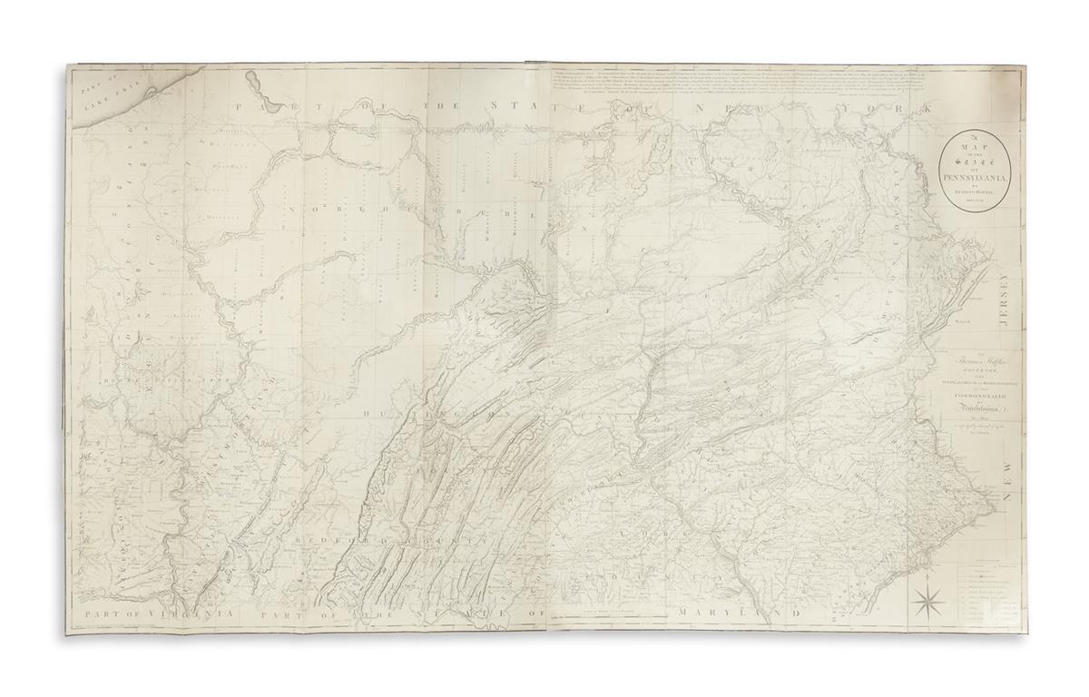
HOWELL, READING. A Map of the State of Pennsylvania. Engraved map printed on four sheets, segmented and archivally joined on verso. 37x62 inches overall size, shaved just outside of neatline; archivally lined on verso, few very minor scattered instances of worm track. London, 1792

Additional Details

Showing the expanse of the state to its western regions, "This is the best map of Pennsylvania to appear in the 18th century, and the first to show its exact boundaries" (Wheat & Brun). Howell's map was the standard for nearly three decades until the publication of John Melish's large map of the state in 1822.

The four sheets were published in several states over a period of time, correcting and adding information as new surveys were reported. Examples of the map are frequently composed of differing states: in the present map, the upper right, lower right and upper left are in the first state, with the lower left in the fourth state. Wheat & Brun 433-435.