?Final Price Realized includes Buyer’s Premium added to Hammer Price
Estimate: $ 5,000 - $ 7,500
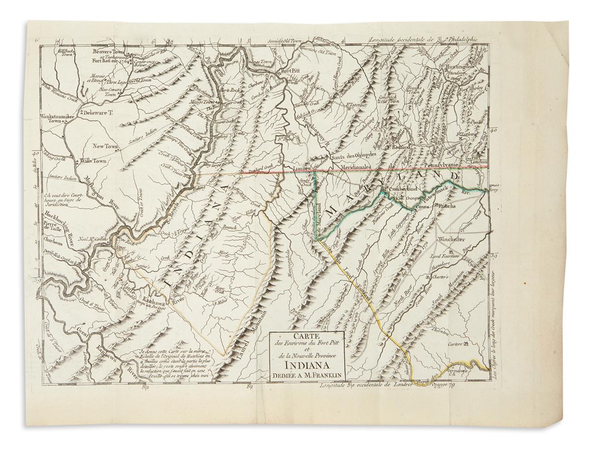
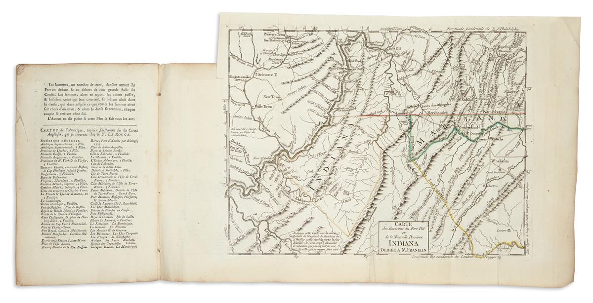
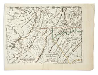
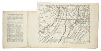
HUTCHINS, THOMAS. Description Topographique de la Virginie, de la Pensylvanie, du Maryland et de la Caroline Septentrionale. 68, [4] pages, 2 engraved plans on a single folding sheet, engraved folding map with original outline hand-color, engraved folding table of distances. 8vo, 8 3/4x5 3/4 inches, contemporary marbled wrappers, slightly worn with a sympathetic repair to upper cover; pin-hole worm track through rear wrapper, table and map. Paris: Le Rouge, 1781
A very appealing copy of this rare French edition of Hutchins' topographic description of the rivers, mountains, native inhabitants and agricultural situation of what was considered the western country of the eighteenth century Middle-Atlantic states. The folding map 'Carte des Environs du Fort Pitt et de la Nouvelle Province Indiana' is dedicated to Benjamin Franklin and extends south along the Ohio River from Fort Pitt (Pittsburgh) to the region the map identifies 'Indiana' (present-day West Virginia). The smaller plans illustrate a detailed section of the Mississippi River from St. Louis to Kaskaskia, one of the earliest French settlements of the Midwest; the other relates a dangerous channel of rapids on the Ohio River. The pamphlet's descriptions and maps communicate first-hand information crucially important to foreigners seeking to settle in expanding portions of North America. Howes H846; Sabin 34055.