Nov 17, 2016 - Sale 2432

Sale 2432 - Lot 175

Price Realized: $ 812
?Final Price Realized includes Buyer’s Premium added to Hammer Price
Estimate: $ 500 - $ 750
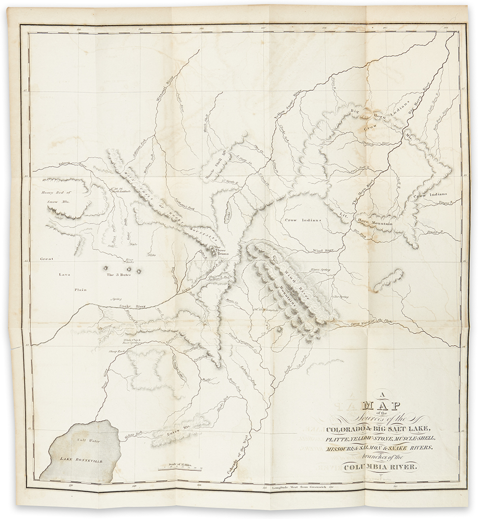
IRVING, WASHINGTON. The Rocky Mountains. 2 folding maps. 248, [12]; 248 pages. 2 volumes. 12mo, publisher's plain cloth, minor wear, with slightly worn original spine labels; Volume I hinge split after page xii, offsetting from title pages to maps, 4-inch repaired tear to second map; early owner's pencil signatures on title pages. Philadelphia, 1837

Additional Details

first american edition. Irving edited and embellished the journals of American army officer Benjamin Louis Eulalie de Bonneville. "Explorations and fur-trade operations from Green River to Salt Lake and Walla Walla, 1832-5, including the first account of the trapping expeditions over the Sierras to California"--Howes I-85 ("aa"). The maps are the first to depict the Humboldt River in northern Nevada, and are the best of the Great Salt Lake region from this period. BAL 10151 (variant C, with most of the 12 ad pages dedicated to Irving's Astoria); Graff 2160; Sabin 35195; Wagner-Camp 67:3; Wheat Transmississippi 423-424 and pages II:158-9.