Dec 08, 2015 - Sale 2401

Sale 2401 - Lot 28

Price Realized: $ 7,500
?Final Price Realized includes Buyer’s Premium added to Hammer Price
Estimate: $ 6,000 - $ 9,000
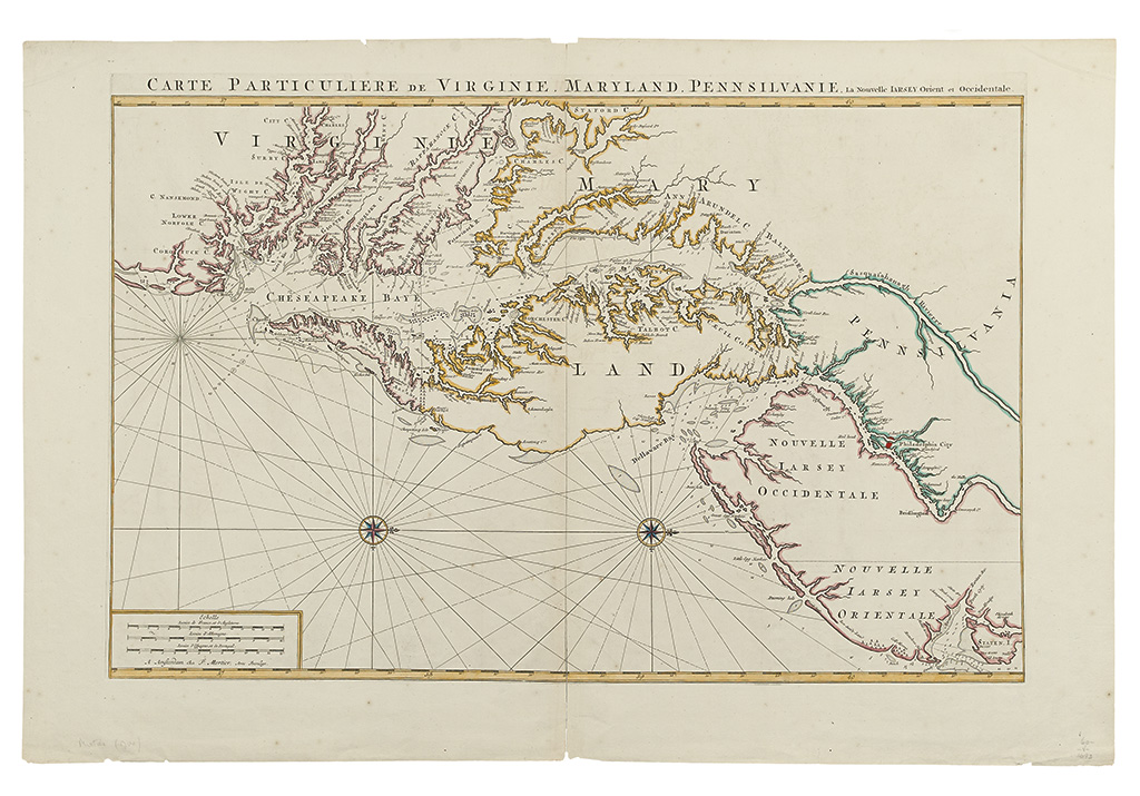
JAILLOT, ALEXIS-HUBERT; and MORTIER. Carte Particuliere de Virginie, Maryland, Pennsilvanie, la Nouvelle Jersey Orient et Occidental. Large double-page engraved map of the Chesapeake Bay region, with west oriented at the top. 650x975 mm, wide margins, outline hand-color to style; generally excellent condition but for clean separation at bottom of central vertical fold, and very few short edge nicks. Amsterdam: P. Mortier, 1700

Additional Details

From the Suite du Neptune Francois. The cartography is derived from John Thornton's 1689 map, and thence from Augustine Herrman's cornerstone map of 1673.

"This large scale map, centered on Maryland and the Chesapeake Bay area, is one of the most beautiful in the history of the cartography of the region. Its basic representation of the coastal area is derived from Herrman, supplemented by new names, soundings and some features from Thornton and Fisher's, chart of 1689." -- Morrison, On the Map, 23.