Dec 08, 2015 - Sale 2401

Sale 2401 - Lot 63

Price Realized: $ 18,750
?Final Price Realized includes Buyer’s Premium added to Hammer Price
Estimate: $ 15,000 - $ 25,000
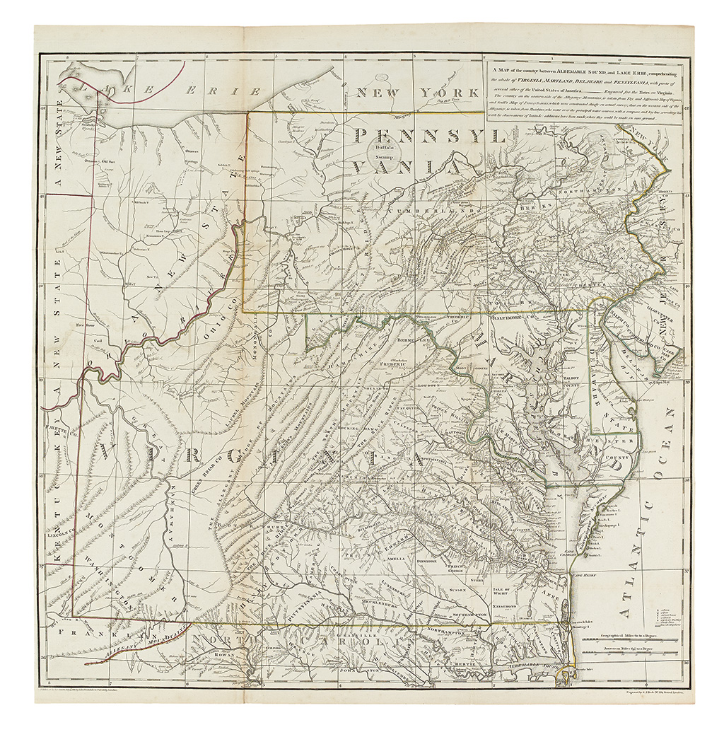
THE ONLY MAP BY THOMAS JEFFERSON. JEFFERSON, THOMAS. A map of the country between Albemarle Sound, and Lake Erie, comprehending the whole of Virginia, Maryland, Delaware, and Pensylvania. Large engraved folding map of the colonial Mid-Atlantic. 610x640 mm, ample margins but a bit close to platemark on left and right; old outline hand-color; few expert reinforcements at intersecting folds, very minor toning along one fold, long printer's crease on right side. London: John Stockdale, 13 July 1787

Additional Details

As described in the cartouche, this map, produced for the London edition of Notes on Virginia, draws on the Fry and Jefferson, Scull, and Hutchins maps. It was originally conceived as a manuscript map by Jefferson for the Paris edition of Notes. Pritchard & Taliaferro, Degrees of Latitude, 72; Morrison, On the Map, 44.