Dec 08, 2005 - Sale 2060

Sale 2060 - Lot 68

Price Realized: $ 3,220
?Final Price Realized includes Buyer’s Premium added to Hammer Price
Estimate: $ 2,000 - $ 3,000
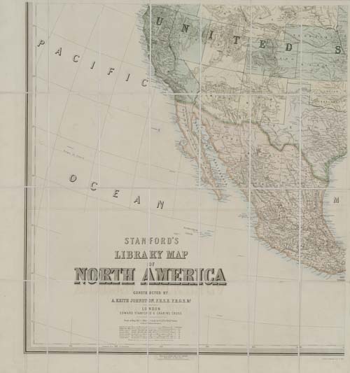
JOHNSTON, A. KEITH; and STANFORD, EDWARD. Edward Stanford's Library Map of North America constructed by A. Keith Johnston. Large hand-colored lithographed case map in 4 parts, each part consisting of 28 sections, the entire map in 112 sections measuring 1610x1490 mm overall; linen-backed; housed in a 1/2 morocco solander case resembling a book. Edinburgh, 01 July 1863

Additional Details


The map shows all of North America and Central America to south of Panama Bay. Union States/Territories (including California, Oregon and Nevada) are colored green, Confederate (including Texas) are colored purple-grey, the neutral are colored yellow. The Territorial configuration in the west shown on this map was very short-lived, because of the influx of population requiring new political divisions. Idaho appears but without its northern part, so that Washington adjoins Montana. The boundary between California and Nevada in the southern part runs along the Sierra Nevada mountains - a few years later it pushed to the east. Nevada is missing its southern tip which is still in Arizona. There is no Wyoming and its area is a part of the Dacotah [sic] Territory. West Virginia, created 10 days prior to the publication of this map (June 20, 1863) is not yet shown. Rumsey 946 describes an 1875 edition of this map.