Dec 08, 2016 - Sale 2434

Sale 2434 - Lot 111

Price Realized: $ 1,375
?Final Price Realized includes Buyer’s Premium added to Hammer Price
Estimate: $ 1,200 - $ 1,800
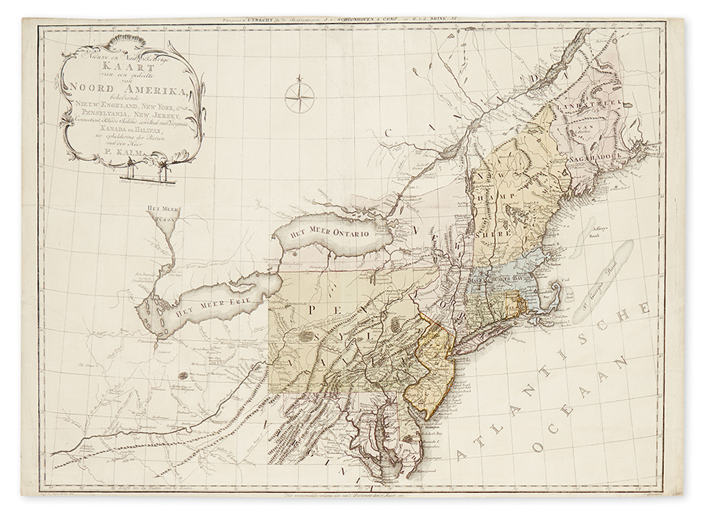
KALM, PETER. Nieuwe en Nauwkeurige Kaart van een gedeelte van Noord Amerika, Behelzende Nieuw Engeland, New York, Pensylvania, New Jersey, Connecticut, Rhode Island, een Stuk van Virginia, Kanada en Halifax. Large folding map of eastern North America, engraved by Carel Jacob de Huyser. 21 1/2x31 1/4 inches sheet size, margins short but with no loss to imprint; original hand-coloring; expert strengthening to a few folds. Utrecht: J.V. Schoonhoven, 1772

Additional Details

Beginning in 1748, Swedish naturalist Peter Kalm travelled and explored northeast America making record of the regions' inhabitants, terrain, flora and fauna. Upon returning to Stockholm in 1751, Kalm set to publishing his journal between 1753 and 1761. Several editions followed, with the present map originally published within the 1772 Dutch edition. A rarely seen and interestingly detailed colonial map of New England, it principally depicts the region in which Kalm travelled and surveyed specifically Pennsylvania, Delaware, New Jersey, New York and Canada. The map extends westward down the Ohio River into present-day Kentucky and north along the St. Laurence to Quebec. Some useful notations to early prospective settlers include many places where clay, coal, pipestone and petroleum can be found, as well as several curiosities such as "Antique Sculptures" (Indian mounds?) and an elephant graveyard along the Ohio River. Sellers and Van Ee, Maps and Charts of North America and the West Indies 727; Howes K5.