Dec 09, 2004 - Sale 2027

Sale 2027 - Lot 124

Price Realized: $ 460
?Final Price Realized includes Buyer’s Premium added to Hammer Price
Estimate: $ 200 - $ 300
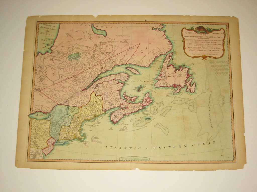
LAURIE & WHITTLE. A New and Correct Map of the British Colonies in North America. Double-page engraved map, 500x675, wide margins; hand-colored; minor chips or tears at edges (generally outside the platemark), light offsetting, separations along centerfold reinforced on verso. London, 1794

Additional Details


The third state, first published by Sayer & Bennett in their 1776 American Military Pocket Atlas (i.e. the Holster Atlas). Besides depicting much of Eastern Canada, the map shows the New England states, New York, New Jersey and portions of Pennsylvania and Maryland. Kershaw III:717.