Dec 05, 2017 - Sale 2464

Sale 2464 - Lot 115

Price Realized: $ 3,250
?Final Price Realized includes Buyer’s Premium added to Hammer Price
Estimate: $ 800 - $ 1,200
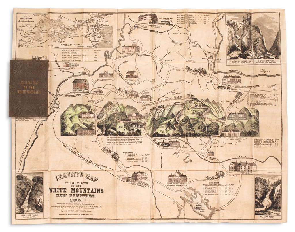
LEAVITT, FRANKLIN. Leavitt's Map with Views of the White Mountains, New Hampshire. Hand-colored engraved and electrotyped pictorial pocket map. 21x27 inches, folding into publisher's gilt-lettered 12mo format cloth case; minor offsetting, else strikingly nice. Lancaster, N.H., 1859

Additional Details

The map charmingly illustrates and describes the region of the White Mountains, already a popular tourist attraction by the mid-nineteenth century. An inset map of the Grand Trunk Railway line appears in the upper right, with attractively engraved views of the area's most picturesque waterfalls balancing out the other corners. The central profile of the mountains depicts many hotels, houses and trails leading to several summits; interspersed throughout are anecdotes of local history. Franklin Leavitt and his son Victor published several editions of the map until 1888. While several later editions have come to market, records indicate an 1859 edition has not been offered since 1929.