Jun 19, 2003 - Sale 1974

Sale 1974 - Lot 98

Unsold
Estimate: $ 1,200 - $ 1,800
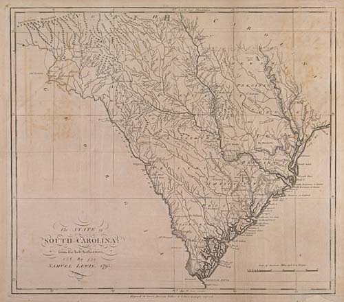
LEWIS, SAMUEL. The State of South Carolina. Engraved folding map, 400x450 mm, wide margins; small area of paper loss in the lower margin repaired (outside the neat line), a few short edge tears repaired, minor toning and offsetting as usual; nicely matted and framed. Philadelphia: Carey, 1795

Additional Details


Published in Carey's American Atlas, the first atlas published in America. "This is a topographical map of the State showing also the eight precincts, their names and boundaries, and the principal towns and roads"--Wheat & Brun 601.