Dec 17, 2019 - Sale 2527

Sale 2527 - Lot 111

Price Realized: $ 1,375
?Final Price Realized includes Buyer’s Premium added to Hammer Price
Estimate: $ 1,000 - $ 1,500
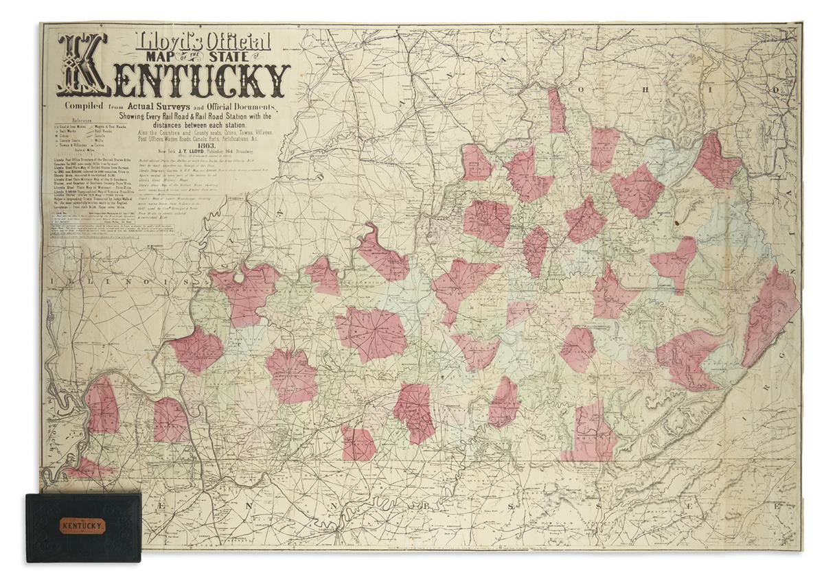
LLOYD, J.T. Lloyd's Official Map of the State of Kentucky. Compiled from Actual Surveys and Official Documents, Showing Every Rail Road & Rail Road Station with the Distances Between Each Station. Also the Counties and County Seats, Cities, Towns, Villages, Post Offices, Wagon Roads, Canals, Forts, Fortifications, &c. Large lithographed pocket map of Kentucky with original hand-color by county. 31x43 inches; issued folding now flat, original cloth case with printed paper label separated but present (possible to reinsert if desired). New York, 1863

Additional Details

A quirky note illustrating the competitive landscape of 19th-century American map publishing appears below the advertisements at upper left: "The public are cautioned against another "Lloyd" [ie H.H.] by whose name he hopes to deceive the public with spurious Lloyd's Maps. This man's maps are engraved coarsly on wood and very erroneous. He follows us with an imitation of every map we issue." Scarce, with the last copy traced in database records appearing in 1933. Rumsey 4786.