Jun 07, 2018 - Sale 2481

Sale 2481 - Lot 127

Price Realized: $ 1,062
?Final Price Realized includes Buyer’s Premium added to Hammer Price
Estimate: $ 300 - $ 500
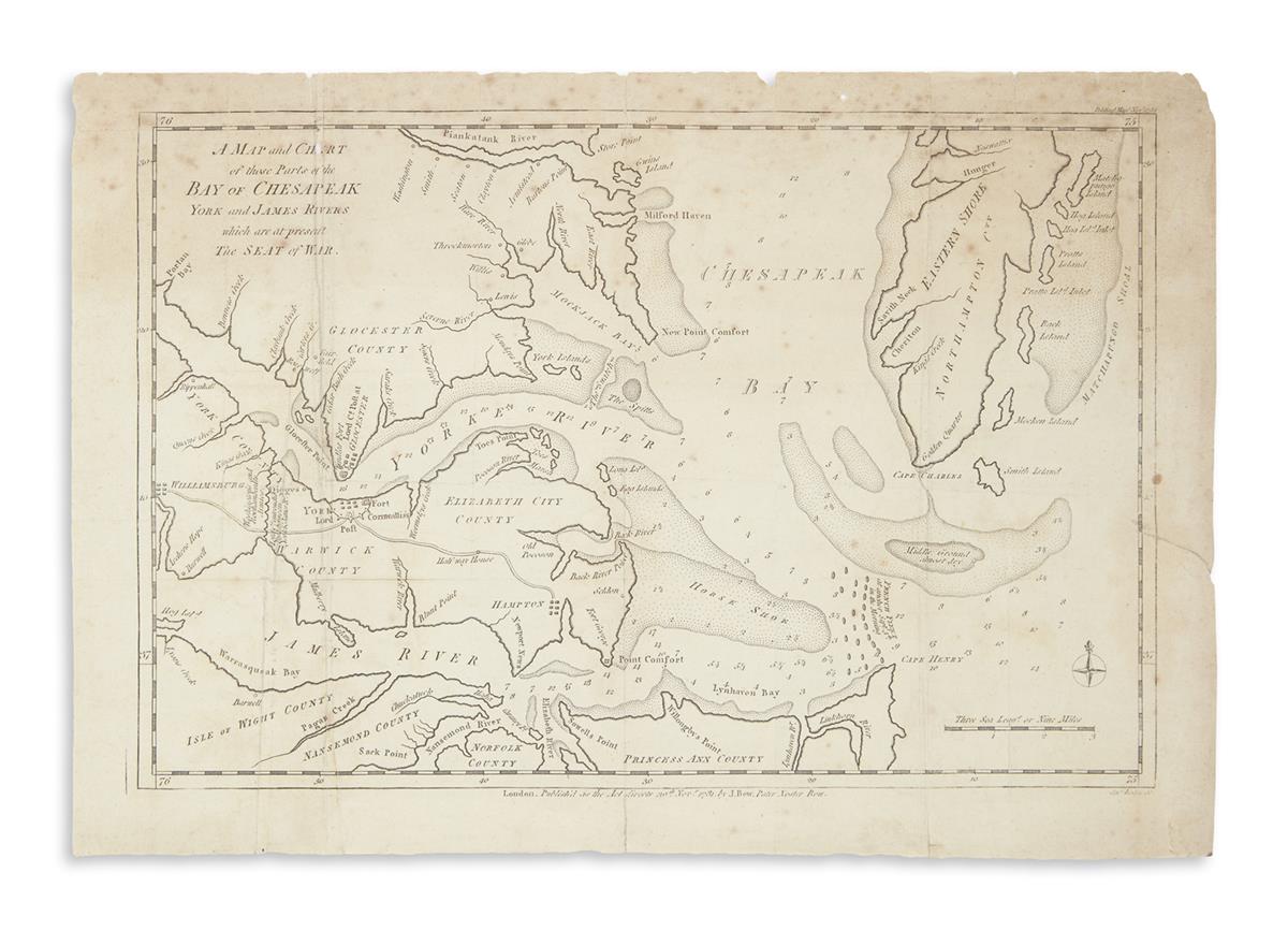
LODGE, JOHN, engraver. A Map and Chart of Those Parts of the Bay of Chesapeak, York and James Rivers Which are at Present the Seat of War. Engraved folding Revolutionary War map of the Chesapeake Bay. 11 1/2x16 1/2 inches sheet size, ample margins; light toning and spotting, few small edge chips and tears, one small loss to the word Chart in the title area. London: J. Bew, 1781

Additional Details

Scarce Revolutionary War period map showing the positioning of Lord Cornwallis's posts and entrenchments at York and Gloucester Point, with Washington and Rochambeau's armies garrisoned nearby. Published after the British surrender at Yorktown in the November 1781 Political Magazine.