Dec 04, 2008 - Sale 2165

Sale 2165 - Lot 38

Unsold
Estimate: $ 4,000 - $ 6,000
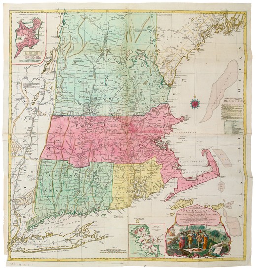
LOTTER, TOBIAS CONRAD. Map of the Most Inhabited Part of New England containing the Provinces of Massachusets Bay and New Hampshire with the Colonies of Conecitcut and Rhode Island. Engraved four-sheet map joined, 1025x985 mm overall, ample margins; hand-colored; few expert repairs along folds on verso, some color a bit blotchy. Augsburg, 1776

Additional Details

Basically a reissue of Jefferys''s map of the same name from 1755, with some additions and name changes. McCorkle 776.16; Sellers and Van Ee 801.