Jul 09, 2020 - Sale 2540

Sale 2540 - Lot 142

Price Realized: $ 40,000
?Final Price Realized includes Buyer’s Premium added to Hammer Price
Estimate: $ 10,000 - $ 15,000
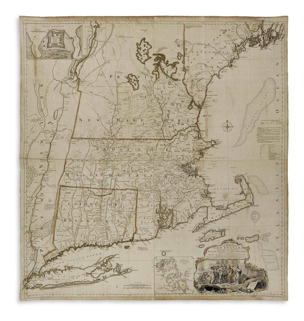
MEAD, BRADDOCK, alias GREEN, JOHN. A Map of the Most Inhabited Part of New England Containing the Provinces of Massachusetts Bay and New Hampshire with the Colonies of Konektikut and Rhode Island, Divided into Counties and Townships. Large engraved map of New England on four sheets joined. 42 1/4x40 inches overall; strong margins; original hand-color in outline; lined on verso with old silk, slight darkening to sheet edges, a few scattered acidity stains and very minor spots of marginal fill-in. London: Thomas Jefferys, November 29th, 1755

Additional Details

first edition, first state of the most important large-scale map of New England published during the North American British Colonial period. The present state can be identified by the appearance of "Konekticut" both in the title and on the map; all subsequent versions show a change to the more familiar spelling. Editions were published into the mid-1790's with significant alterations and the 1774 edition, widely distributed in Thomas Jefferys' American Atlas, is the most frequently seen on the market. First state examples were separately issued and are, by contrast, extremely scarce. Stevens & Tree 33(a).