Dec 08, 2015 - Sale 2401

Sale 2401 - Lot 80

Price Realized: $ 42,500
?Final Price Realized includes Buyer’s Premium added to Hammer Price
Estimate: $ 30,000 - $ 50,000
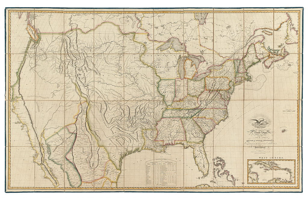
THE FIRST LARGE FORMAT AMERICAN MAP DEPICTING THE NATION FROM COAST TO COAST. MELISH, JOHN. Map of the United States with the contiguous British & Spanish Possessions. Engraved folding map of the United States, dissected in forty parts and laid on original linen with blue silk selvage. 915x1465 mm; beautiful original hand-color in outline. A near-pristine example, unrestored. Philadelphia: John Melish, 1816

Additional Details

"In tracing the probable expansion of the human race from east to west, the mind finds an agreeable resting place on its western limits. The view is complete and leaves nothing to be wished for." - John Melish quoted in Cohen, Mapping the West, page 102.

John Melish's Map of the United States was a hugely important cartographic accomplishment; the western reaches of America that were first introduced in the Lewis and Clark map and through Pike's expedition are here set in stone (or copper, as the case was) and beautifully articulated in the context of the nation as a whole. This magnificent document, widely called "Manifest Destiny on paper", established the tone of the hundred years to follow, in which the fledgling nation turned its focus from east to west and settled a continent.

Ristow's 5th state of the 1816 first edition, without the additional toponyms in southern Indiana. Cohen, page 102-104; Ristow, A la Carte, pages 162-182; Wheat, Mapping of the Transmississippi West, 322.