Jun 20, 2002 - Sale 1940

Sale 1940 - Lot 124

Price Realized: $ 10,925
?Final Price Realized includes Buyer’s Premium added to Hammer Price
Estimate: $ 5,000 - $ 7,500
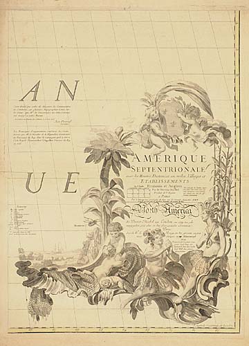
A NICE BIG MITCHELL MITCHELL, JOHN. Amerique Septentrionale avec les Routes, Distances en miles, Villages et Etablissements. Engraved 8-sheet map, unjoined, approximately 1355x1980 mm overall, wide margins, hand-colored in outline; light soiling, one minor area of staining in the Atlantic Ocean, extraneous creases at edges to be joined. Paris: Le Rouge, 1777

Additional Details


The third Le Rouge edition, after the first of 1756 and the second in 1776; all after the original English edition of 1755. An important mapping of America, and one of the largest, showing the entire Eastern seaboard from Labrador to Cape Canaveral, Florida. The map extends as far west as St. Joseph's Bay in Texas, showing Sioux, Padoucas, Panis, Cenis and other Indian lands west of the Mississippi. In addition, the map contains an inset of Hudson's Bay. McCorkle 777.15.<