Dec 05, 2017 - Sale 2464

Sale 2464 - Lot 139

Price Realized: $ 1,062
?Final Price Realized includes Buyer’s Premium added to Hammer Price
Estimate: $ 800 - $ 1,200
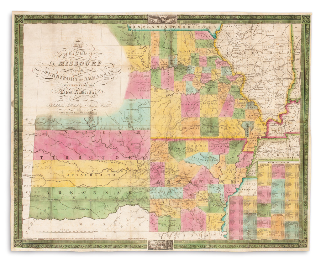
MITCHELL, S. AUGUSTUS. Map of the State of Missouri and Territory of Arkansas. Hand-colored engraved pocket map. 18x22 1/2 inches, ample margins; originally folding now flat, some fold intersections expertly reinforced on verso; original 12mo format gilt roan case separated from map but present. Philadelphia: Mitchell, 1835

Additional Details

A derivation of Anthony Finley's map of 1826 (see lot 59) with several significant updates: The portions of Illinois, Kentucky and Tennessee contain greater detail, the Wisconsin Territory has been changed from Missouri Territory, "Texas" is included in Mexico below the Red River, and most importantly the area to the west is labeled "Indian Territory Attached to Arkansas" and shows the names of many native tribes who already experienced their removal to this area.

"The first map showing the territories west of the Mississippi just assigned to the transplanted Indian nations, and the new locations of the Kickapoos, Kanzas, Delawares, Shawnees, Piankashaws, Weas, Peorias, Osages, Senecas, Cherokees, Creeks, Kiowas, Pawnees, Picts and Choctaws. These native nations form an unbroken bulwark blocking further white advance to the West. A most important map in Western history" (Anderson Galleries' Frank P. O'Brien catalog, part three, 1922, item 425).