?Final Price Realized includes Buyer’s Premium added to Hammer Price
Estimate: $ 5,000 - $ 7,000
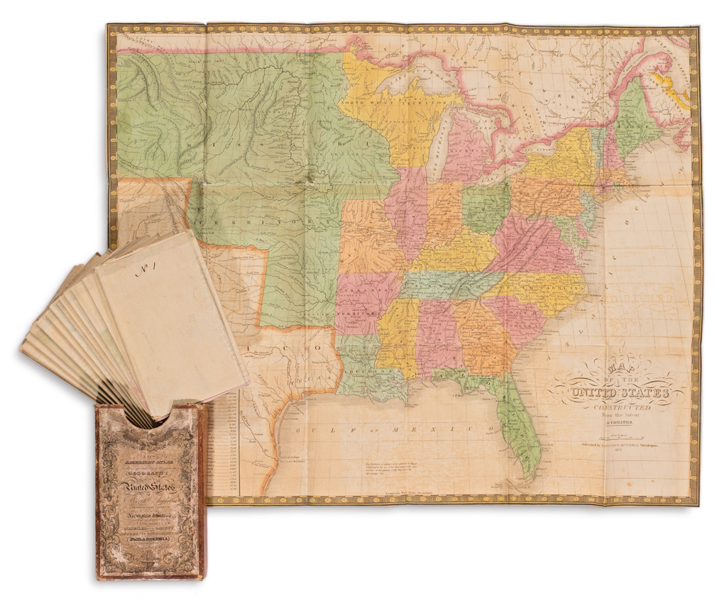
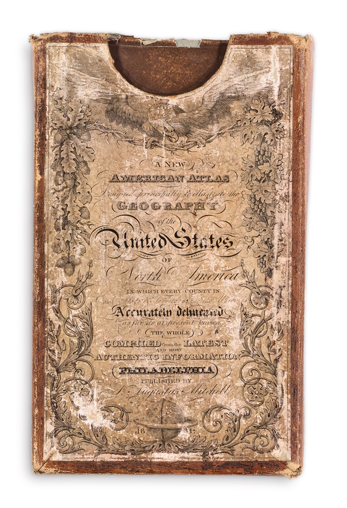
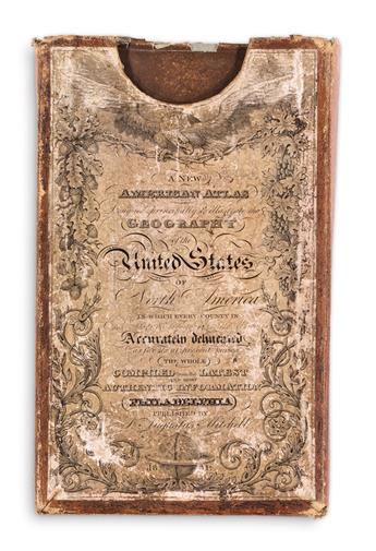
MITCHELL, SAMUEL AUGUSTUS. A New American Atlas Designed Principally to Illustrate the Geography of the United States of North AmericaIn Which Every County in Each State & Territory in the Union is Accurately Delineated as Far as at Present Known. 15 engraved maps on 14 sheets in full original hand-color folding into original publisher's roan covered card slipcase with pictorial printed paper title and index labels pasted on. Maps approximately 20 3/4x17 inches sheet size, minor splits at some fold intersections, faint offsetting of oxidized mineral pigments; case 6x3 3/4x1 inches, rubbed with a small edge split. Provenance: Sotheby's June 16, 2005, lot 205. Philadelphia: S. Augustus Mitchell, 1831
an outstanding presentation of mitchell's first edition 1831 mapsheets. Mitchell acquired the printing plates engraved by J.H. Young for Anthony Finley's 1826 New American Atlas and set forth publishing his own folio in 1831 with additions and corrections. This edition of Mitchell's first atlas is a great rarity of nineteenth-century American geography. The sheets are most commonly found as separately issued folding pocket maps revised and printed into the 1850's. The present item is a highly sophisticated and unusual format of the complete atlas, with the maps well-preserved in their original publisher's slipcase.
The maps comprise: North America United States Maine, New Hampshire and Vermont Massachusetts, Connecticut and Rhode Island New York Pennsylvania, New Jersey and Delaware Virginia and Maryland North and South Carolina and Georgia Louisiana, Mississippi and Alabama Kentucky and Tennessee Ohio, Indiana & Illinois and Part of Michigan Territory Missouri and Territory of Arkansas Florida/West Indies South America. Ristow, American Maps and Mapmakers, 303-304.