Dec 17, 2019 - Sale 2527

Sale 2527 - Lot 125

Price Realized: $ 1,000
?Final Price Realized includes Buyer’s Premium added to Hammer Price
Estimate: $ 1,200 - $ 1,800
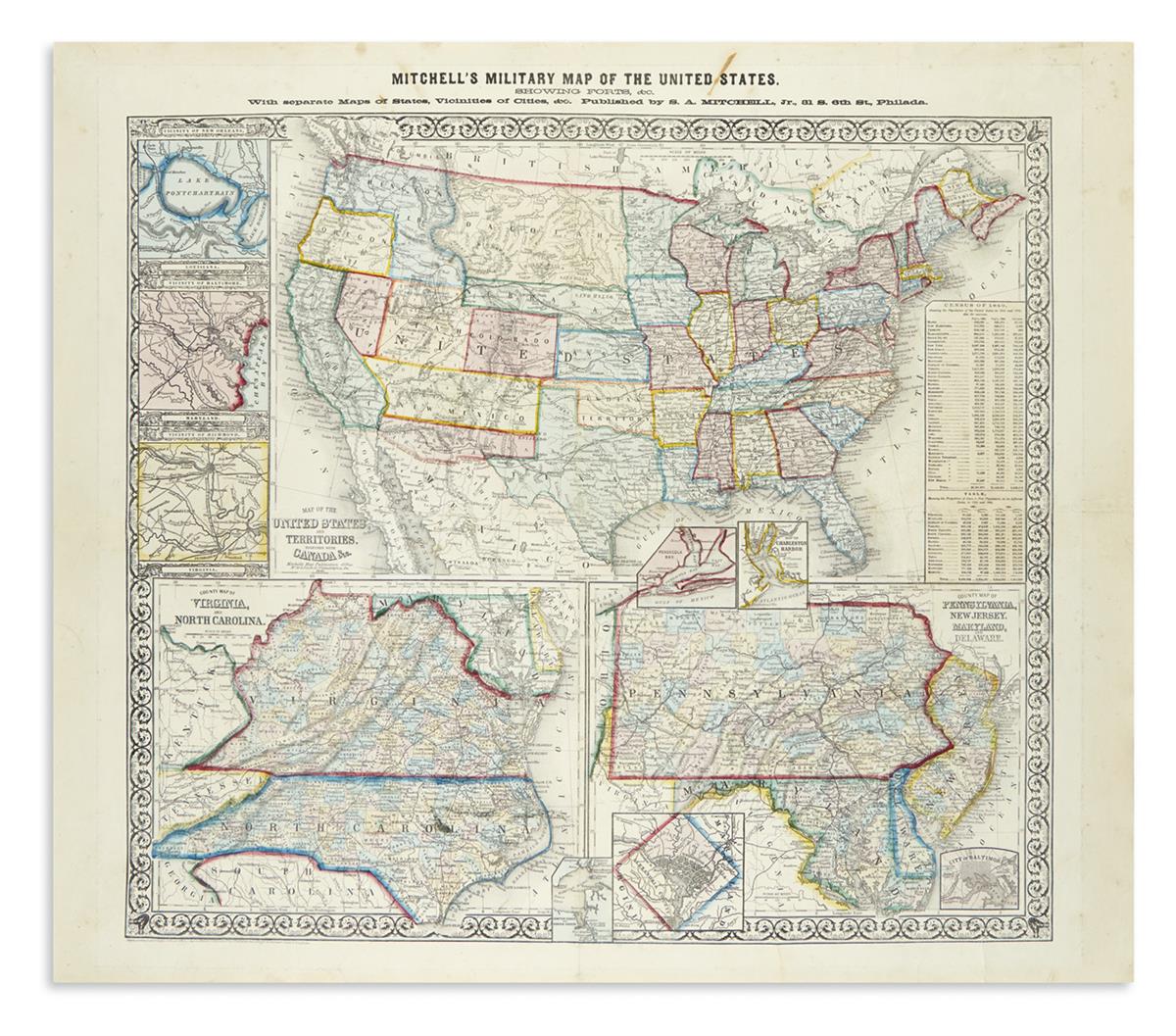
MITCHELL, SAMUEL AUGUSTUS. Mitchell's Military Map of the United States, Showing Forts, &c. With Separate Maps of States, Vicinities of Cities, &c. Large hand-colored lithographed assemblage of maps on a single sheet. 26x29 1/2 inches sheet size, wide margins; archivally lined on verso with thin tissue stabilizing old folds and fissures. Philadelphia, 1861

Additional Details

Separately published broadside issued at the outset of the American Civil War comprised of a large base map of the United States showing Dacotah and Washington Territories and New Mexico and Arizona distinctly displayed in a long and wide representation with smaller regional maps of Virginia and North Carolina and Pennsylvania, New Jersey, Maryland and Delaware added below; insets of New Orleans, Baltimore, Richmond, Charleston, Washington DC, Hampton Roads and a table presenting the proportion of slaves to free population in the different states appear throughout.