Dec 04, 2014 - Sale 2369

Sale 2369 - Lot 78

Price Realized: $ 10,000
?Final Price Realized includes Buyer’s Premium added to Hammer Price
Estimate: $ 4,000 - $ 6,000
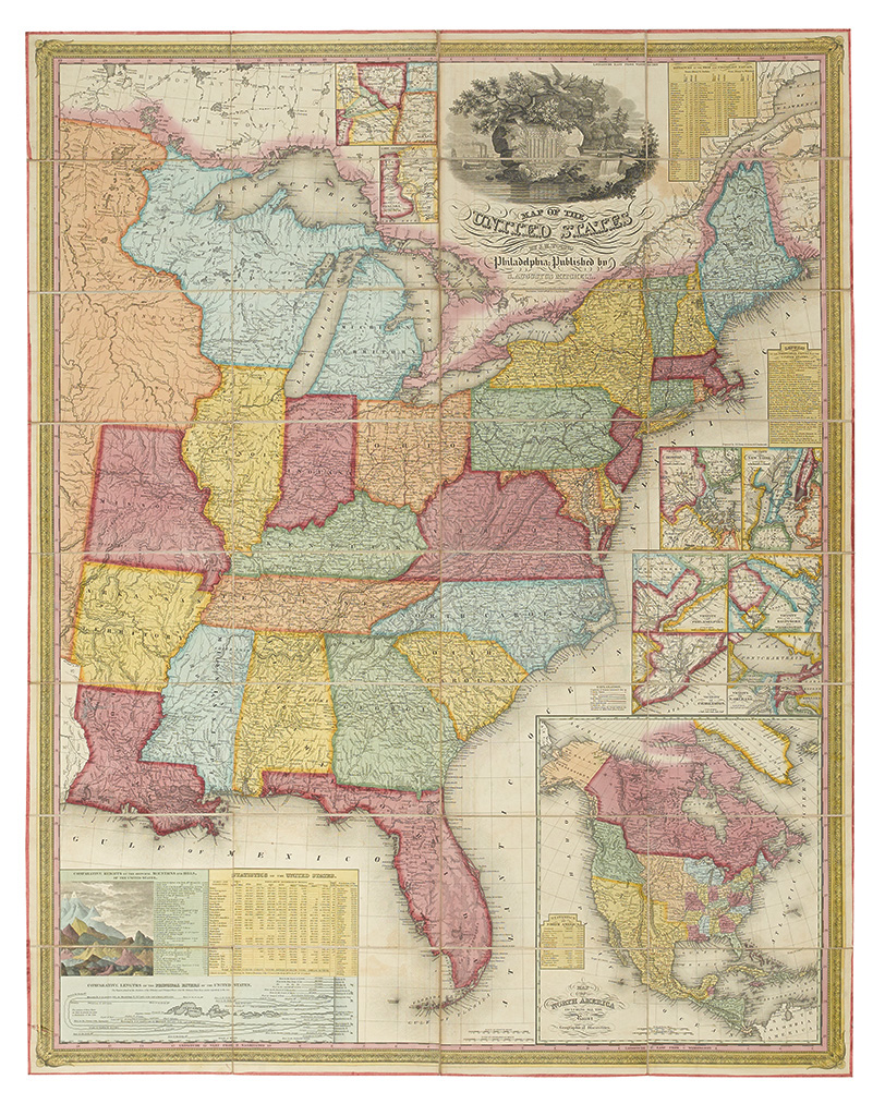
MITCHELL, SAMUEL AUGUSTUS; and YOUNG, J. H. Map of the United States. Engraved case map dissected and laid on linen, 1160x915 mm overall; exceptional original hand-coloring in full. Ink ownership inscription of F[rancis] C[abot] Lowell, [Jr.] on front paper cover. superb example. Philadelphia, 1831

Additional Details

The map covers an area to just west of Louisiana and State of Missouri, i.e. ending on the eastern outskirts of the Missouri Territory. The area of present day Wisconsin and Minnesota is labeled "Attached to Michigan Territory". This is the first wall map issued by Mitchell. It is also his first original cartographic production as the New American Atlas that he published earlier in 1831 was merely a reissue with updates of Finley's 1826/7 New American Atlas. This map established Mitchell as a high quality mapmaker and revised editions of this map were published until 1844. The present map is the equal in almost every way of Babinski example, sold in these rooms in 2005. Ristow, page 309; Rumsey 2723.