Jun 07, 2017 - Sale 2450

Sale 2450 - Lot 143

Unsold
Estimate: $ 2,000 - $ 3,000
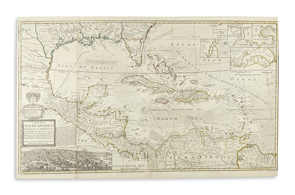
MOLL, HERMAN. A Map of the West-Indies or the Islands of America in the North Sea. Large format folding map on two sheets joined. 25x40 1/4 inches sheet size; original hand-color in outline; some wear at folds resulting in a small loss in the inset view of Mexico, upper right margin shaved to neatline, clean. London: Thomas and John Bowles, circa 1720

Additional Details

Large and attractive map of Mexico, the Caribbean, the Gulf Coast and Florida detailed with insets of Mexico City, Havana, Porto Bella, Cartagena, Vera Cruz and St. Augustine. The map primarily describes the trade routes of galleons between these ports and Spain. Territories are delineated by outline color: Spain in yellow, England in red, France in blue, and Holland in green.