Dec 08, 2016 - Sale 2434

Sale 2434 - Lot 139

Price Realized: $ 5,250
?Final Price Realized includes Buyer’s Premium added to Hammer Price
Estimate: $ 4,000 - $ 6,000
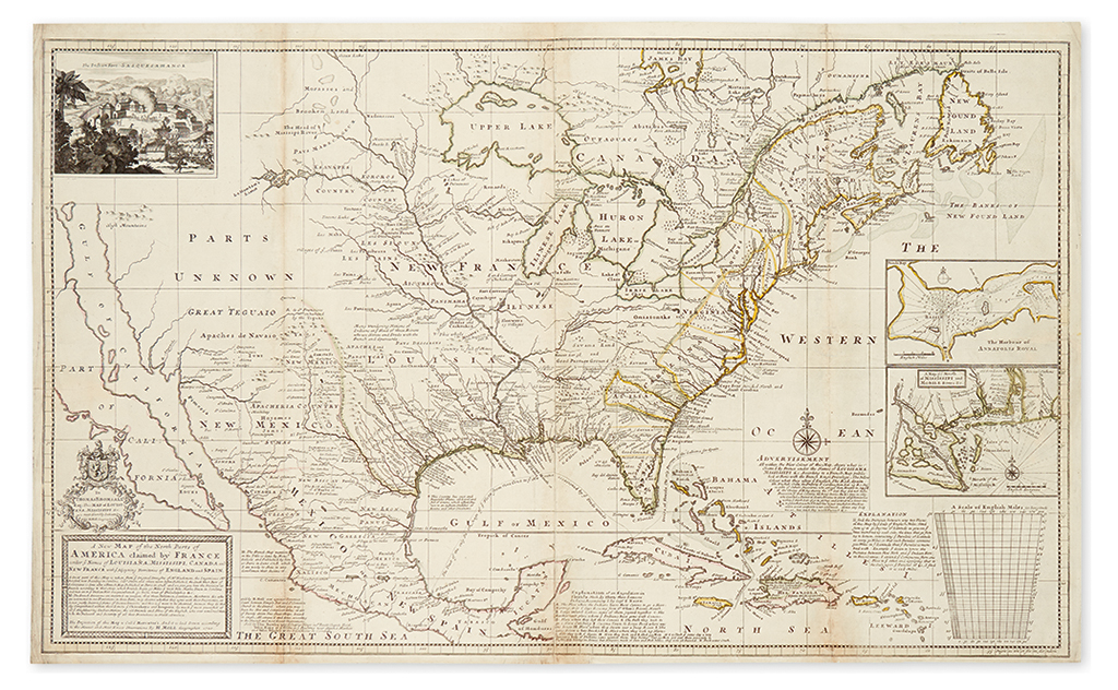
MOLL, HERMAN. A New Map of the North Parts of America claimed by France under ye Names of Louisiana, Mississipi, Canada and New France with ye Adjoyning Territories of England and Spain. Large format engraved folding map of North America on two sheets joined. 25 1/4x41 1/4 inches sheet size, margins ample; original hand-color in outline; minor surface soiling, expert restoration along folds on verso. London: H. Moll, 1720

Additional Details

A fine copy of this important map of Colonial America, reflecting the boundary disputes between Great Britain and France. Cumming, British Maps of Colonial America pp. 10-12; McLaughlin, The Mapping of California as an Island 197 (state 1).