Jun 07, 2017 - Sale 2450

Sale 2450 - Lot 139

Price Realized: $ 5,250
?Final Price Realized includes Buyer’s Premium added to Hammer Price
Estimate: $ 8,000 - $ 12,000
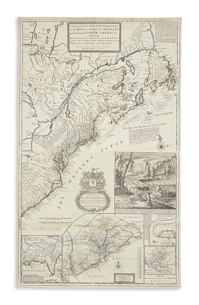
MOLL, HERMAN. A New and Exact Map of the Dominions of the King of Great Britain on ye Continent of North America. Engraved map of Colonial America on two sheets joined. 40 1/4x24 1/4 inches sheet size, ample margins; hand-colored in outline; folds reinforced on verso, small repair upper left margin. London: Thomas Bowles, John Bowles and I. King, [1715] 1735

Additional Details

Moll's famous map of the British Colonies, inset with a scene of industrious, dam-building beavers. Apart from its beloved decoration, the map is important in that it is one of the earliest to depict the British developments in colonial North America and it is the earliest to depict the postal routes between Philadelphia and Portsmouth. As was Moll's practice, he has included several interesting engraved texts relating details about this early postal service, the Iroquois nation and political treaties between the British and the French. Stevens & Tree 55(c); Kershaw II, 331, State E.