Jun 07, 2018 - Sale 2481

Sale 2481 - Lot 151

Price Realized: $ 2,750
?Final Price Realized includes Buyer’s Premium added to Hammer Price
Estimate: $ 4,000 - $ 6,000
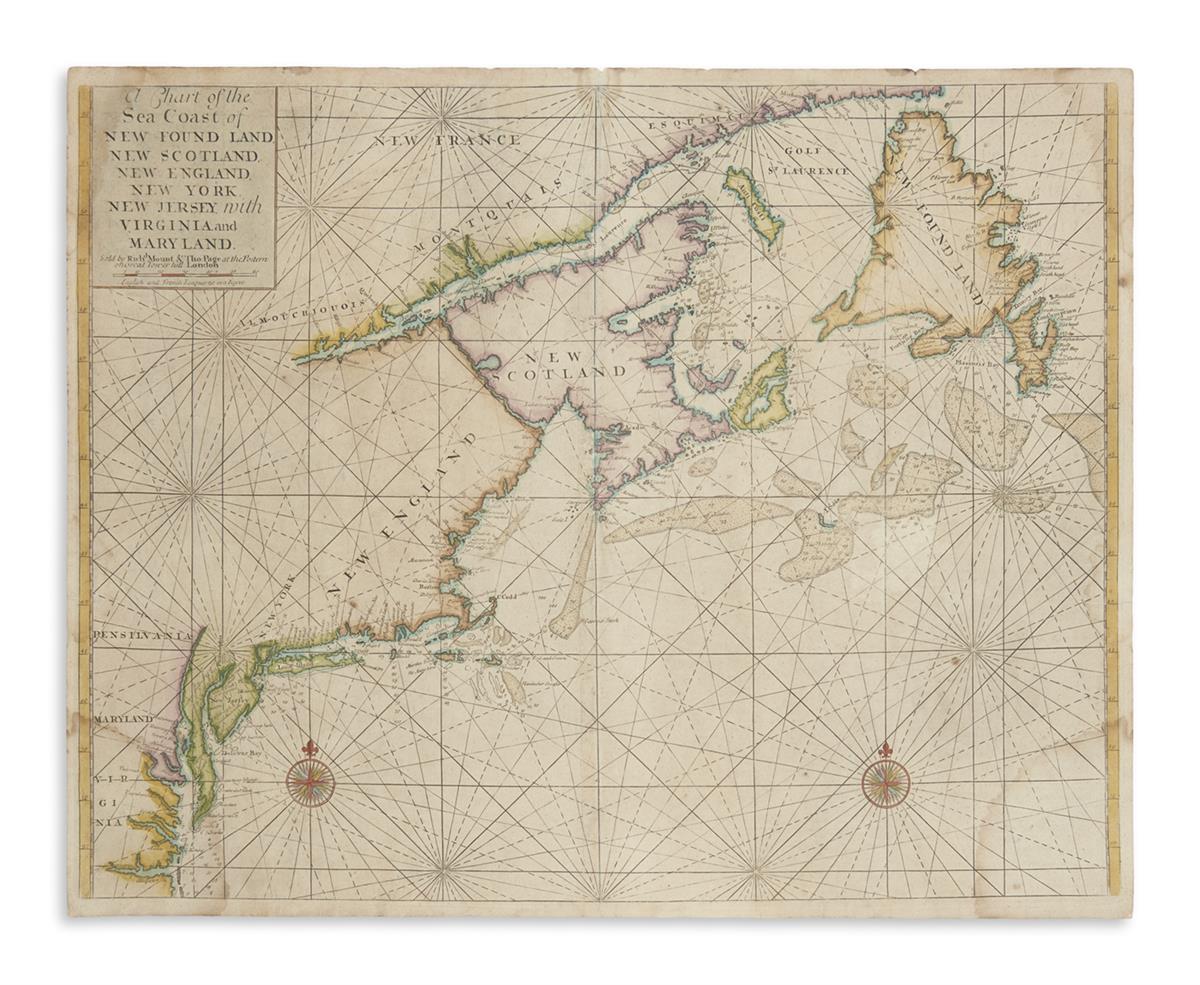
MOUNT, RICHARD; and PAGE, THOMAS. A Chart of the Sea Coast of New Found Land, New Scotland, New England, New York, New Jersey, with Virginia and Maryland. Double-page engraved chart of the North American east coast from the Chesapeake Bay to Newfoundland. 18 1/2x23 inches sheet size, ample margins; hand-colored in full; light dampstaining to the corners. London, [1721-1729]

Additional Details

The standard of English charting of the Mid-Atlantic to Northeast American waters for nearly a century. Found here in an extremely rare first plate, second state bearing Richard Mount's name in the imprint. This variant of the map appeared in 1721 editions of Mount and Page's Atlas Maritimus Novus and editions of the English Pilot, The Fourth Book from 1721-1729. Verner page 46; Kershaw 233; McCorkle 698.6.