?Final Price Realized includes Buyer’s Premium added to Hammer Price
Estimate: $ 300 - $ 500
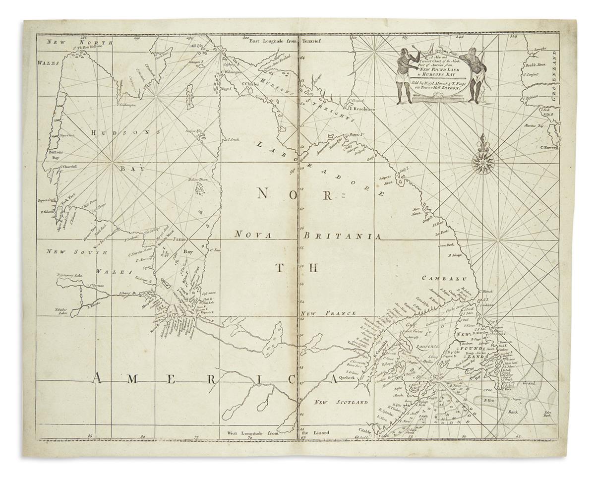
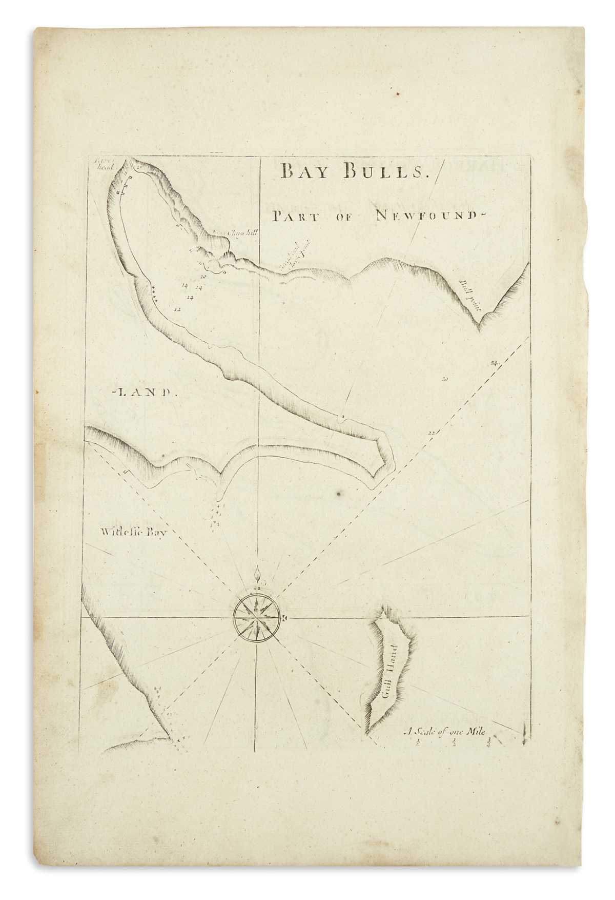
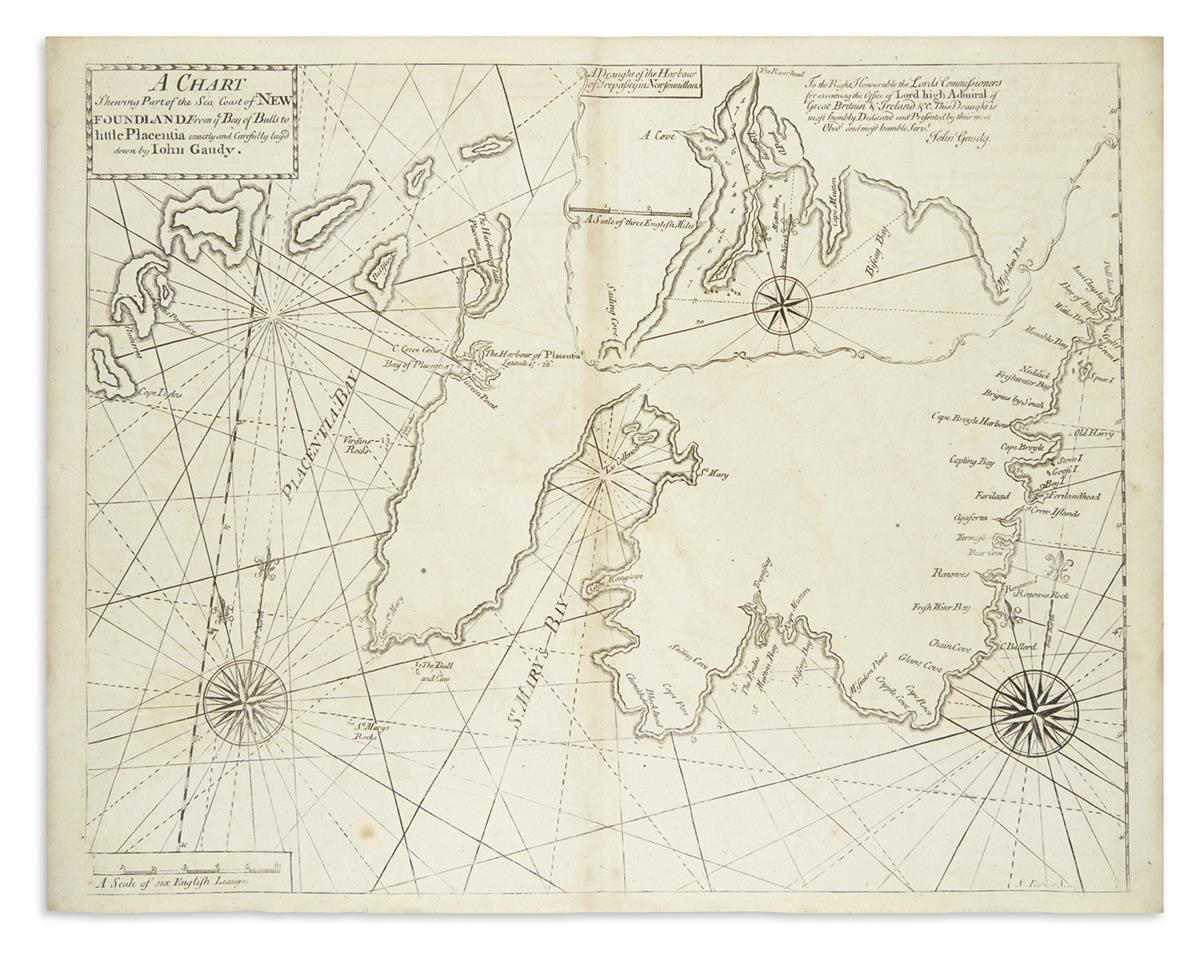
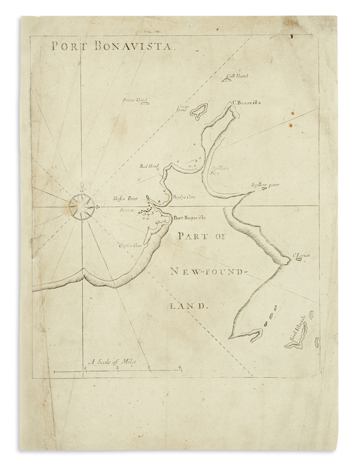
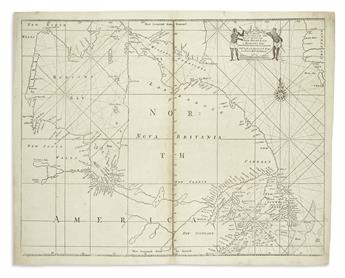
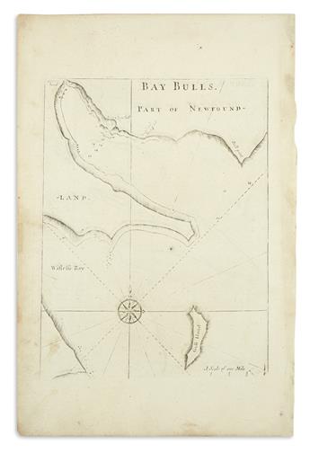
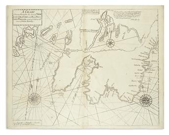
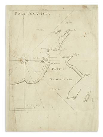
MOUNT, WILLIAM and JOHN; and PAGE, THOMAS. Group of 6 engraved maps relating to Canada. 2 full-page (12 1/2x18 1/2 inches or smaller) printed recto/verso and 2 double-page (18 1/4x23 3/4 inches) engraved sheets; scattered staining and occasional skillful marginal repairs. London, circa 1770
A New and Correct Chart of the North Part of America from New Found Land to Hudsons Bay. A Chart Shewing Part of the Sea Coast of New Foundland... by John Gaudy. Harbor Grace (recto) / Bay Bulls (verso). Port Bonavista (recto) / Cattalina Harbor (verso).