Dec 05, 2017 - Sale 2464

Sale 2464 - Lot 149

Unsold
Estimate: $ 2,000 - $ 3,000
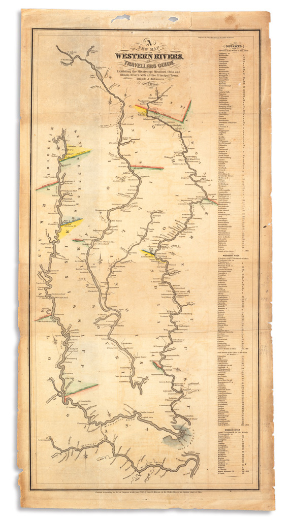
MUNSON, SAMUEL. A New Map of the Western Rivers. Engraved folding map with partial hand-coloring. 24x12 1/4 inches sheet size; some edge chipping and small splits at folds, removed from original booklet. [Cincinnati], 1842

Additional Details

First edition folding map from an important 19th-century navigation guide detailing the courses of the Mississippi, Missouri, Ohio and Illinois Rivers with extensive tables of distance. Editions of 1843, 1844, 1845 and 1851 followed and all are scarce. Streeter Sale 1378.