Dec 08, 2005 - Sale 2060

Sale 2060 - Lot 113

Price Realized: $ 4,830
?Final Price Realized includes Buyer’s Premium added to Hammer Price
Estimate: $ 1,000 - $ 1,500
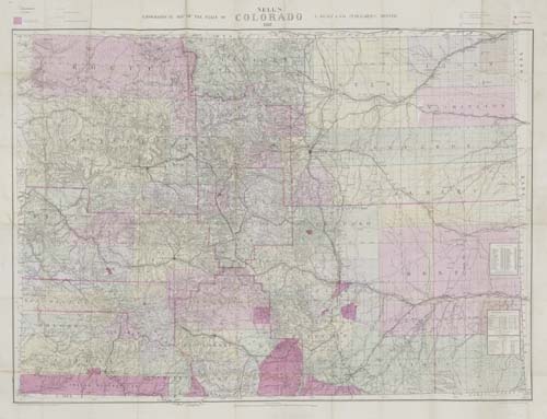
NELL, LOUIS. Nell's Topographical Map of the State of Colorado. 1887. Hand-colored lithographed folding pocket map, 815x1055 mm overall; folds into the original 12mo format cloth case. Denver, 1887

Additional Details


First edition, replacing Nell's earlier map of Colorado titled "Nell's Topographical & Township Map of Colorado" published by Chain & Hardy in Denver. The earlier map was on a slightly smaller scale of 10-1/2 miles per inch, the one here is on a scale of 10 miles per inch. Rumsey lists only an 1889 edition of this map published in Denver by E. Besley but claims it is on the smaller scale of 10-1/2 miles per inch, like the one published before 1887. Not in Rumsey.