May 26, 2016 - Sale 2417

Sale 2417 - Lot 122

Price Realized: $ 1,000
?Final Price Realized includes Buyer’s Premium added to Hammer Price
Estimate: $ 800 - $ 1,200
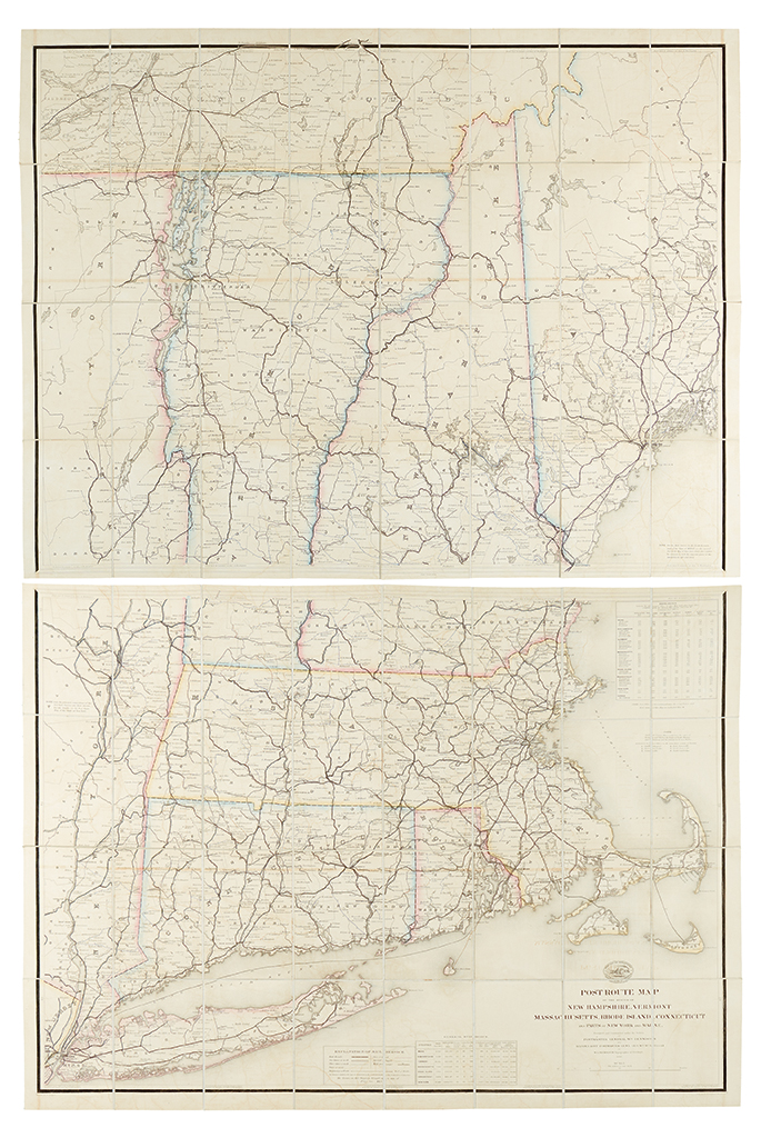
NICHOLSON, WALTER L. Post Route Map of the States of New Hampshire, Vermont, Massachusetts, Rhode Island, Connecticut and Parts of New York and Maine. Engraved map on two sheets, period hand-coloring in outline, sectioned and linen-backed at a contemporary date, housed in contemporary brown cloth slipcase. 62x40 inches in all. Provenance: John Henry Devereux, 1832-1886, President of the Cleveland, Columbus, Cincinnati, and Indianapolis Railway (name stamped in gilt on the slipcase). Washington: 1866 [updated 1 February 1873]

Additional Details

Rare official Post Route map of New England, owned by the Civil War General in charge of all Union railroad lines and the President of a major railroad company following the war.

Phillips p. 479 (1881 issue); Cf. Virginia W. Mason. The U.S. Post Office Department, Division of Topography: the Conception, Production, and Obsolescence of Postal Mapping in the United States. (unpublished thesis). Madison, WI: Department of Geography, University of Wisconsin-Madison, 2002.