Dec 04, 2008 - Sale 2165

Sale 2165 - Lot 67

Price Realized: $ 15,600
?Final Price Realized includes Buyer’s Premium added to Hammer Price
Estimate: $ 3,500 - $ 5,000
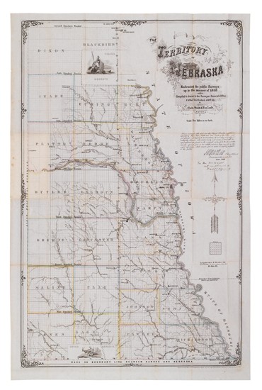
QUIN, EDWARD. The Territory of Nebraska, Embracing the Public surveys up to the summer of 1858. Lithographed folding pocket map, 920x610 mm (36 1/4x24 inches); hand-colored in outline; ex-library, with bookplate on front pastedown of case; folds into the original 12mo cloth case, with the original lettered label. St. Louis, 1857

Additional Details

Though dated in the copyright notice as 1857, the map is dated 1858 on the image. The cover label notes this as being a "2nd Edition." The First edition was published the previous year and is considered the first commercial map of Nebraska Territory. The map was lithographed by Leopold Gast and Brother in St. Louis. It was copyrighted by Quin, Smith, and Van Zeldt, also of St. Louis. This copy with an inked presentation inscription below the cartouche from Ward B. Burnett, Surveyor General of Kansas and Nebraska (later a Civil War general) to Connecticut Senator William Wright.