Dec 06, 2012 - Sale 2297

Sale 2297 - Lot 112

Price Realized: $ 1,080
?Final Price Realized includes Buyer’s Premium added to Hammer Price
Estimate: $ 1,000 - $ 1,500
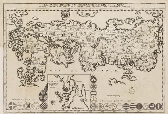
RELAND, ADRIEN. Le Japon divisé en soissante et six provinces, cette carte est tireé dews cartes Japonois. Engraved folding map, 310x455 mm, ample margins (as issued); matted. Amsterdam, 1715

Additional Details

Map appeared in the third volume of Jean Bernard's Receuil de voiages au Nord. Unlike other European maps of Japan of the period, Reland used a Japanese published map for his source marterial, namely Ishikawa Ryüsen's Nihon Kaisan Chõriku. "Reland's choice of Ryüsen as a model represents a step backward in the depiction of Honshû . . . On the other hand, the approximation to reality in Reland's depiction of Kyûshû is not equalled or surpassed until the nineteenth century"--Walter 66. Campbell 40.