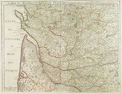
Dec 13, 2001 - Sale 1919

Sale 1919 - Lot 18

Price Realized: $ 2,990
?Final Price Realized includes Buyer’s Premium added to Hammer Price
Estimate: $ 2,500 - $ 3,500
ROBERT de VAUGONDY; and others. Composite atlas consisting of 34 engraved double-page or folding maps, by various French mapmakers of the second half of the 18th century. With an extraneous engraved title-page bearing no relation to the contents of the volume. Folio, contemporary calf, quite worn; maps generally quite bright and clean.<\t>Paris, principally 1760s-70s

Additional Details


The atlas contains maps by Vaugondy, Jaillot, Delisle, Anville, Beaurain, and Bellin. Most maps are hand-colored in outline. 21 maps deal with France. There are 3 maps of Asia (India); one map of U.S. interest (Partie Superieure de la Louisiane); 4 Bellin maps of the West Indies (Saint Domingue, Saint Christophe, La Barbade, Antigue); and an unjoined 3-sheet map by Anville of South America (1748). Amongst the French maps are some good maritimes of the French coast. One map is defective (Saint Dominge), another is creased. <