Dec 17, 2019 - Sale 2527

Sale 2527 - Lot 188

Price Realized: $ 1,375
?Final Price Realized includes Buyer’s Premium added to Hammer Price
Estimate: $ 700 - $ 1,000
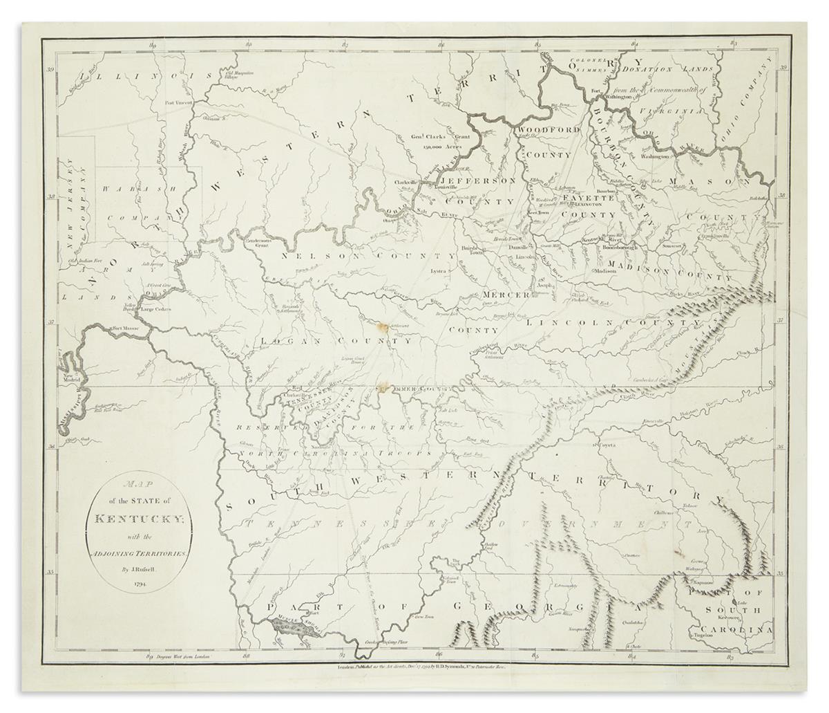
RUSSELL, JOHN. Map of the State of Kentucky with the Adjoining Territories. Engraved folding map on wove paper watermarked "JWhatman/1794". 16x18 1/2 inches sheet size, ample margins; several small marginal repairs and fold reinforcements, minor spotting, else quite nice. London: H.D. Symonds, 1794.

Additional Details

Fine early map of the region between the Ohio and Tennessee Rivers extracted from William Winterbotham's "Historical Geographical, Commercial, and Philosophical View of the American United States."