Jun 07, 2018 - Sale 2481

Sale 2481 - Lot 197

Price Realized: $ 1,375
?Final Price Realized includes Buyer’s Premium added to Hammer Price
Estimate: $ 2,000 - $ 3,000
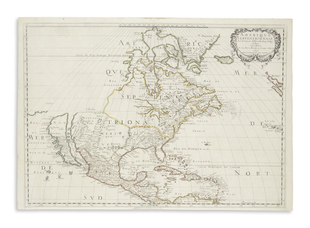
SANSON, NICOLAS. Amerique Septentrionale. Double-page engraved map of North America featuring the Great Lakes and California as a large island. 16x23 inches sheet size, ample margins; original outline hand-color; light spots of damp at upper edge and lower left corner, one inch portion of lower scale bar neatly replaced in ink facsimile. Paris, 1650 [1651]

Additional Details

"In 1650 Sanson published this landmark map of North America... perhaps, most important for being the first printed map to delineate the five Great Lakes in a recognisable form" (Burden). This is also the first printed map to carry the name S[anta] Fe (although incorrectly placed) as well as the first to locate the native regions of the Navajo, Apache and Taosij (Taos) tribes in the southwest. Second state, without the shoreline of Lake Ontario shaded. Burden 294.