Dec 08, 2015 - Sale 2401

Sale 2401 - Lot 57

Price Realized: $ 4,750
?Final Price Realized includes Buyer’s Premium added to Hammer Price
Estimate: $ 3,000 - $ 5,000
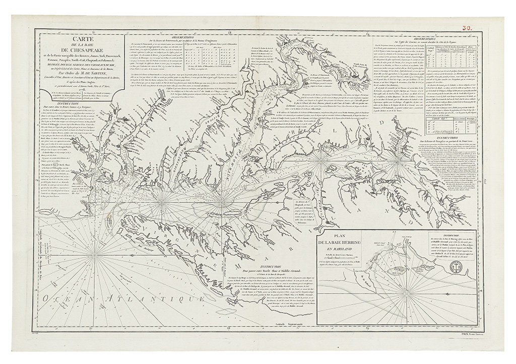
SARTINE, ANTOINE RAYMOND de. Carte de la Baie de Chesapeake et de la Partie navigable des Rivieres, James, York, Patowmack, Patuxeo, Patapsco, North-East, Choptauk et Patomack. Large double-page engraved map of the Chesapeake region, extracted from Neptune Americo-Septentrionale. 23x34 1/2 inches, wide margins; ink "30" in upper right corner, very nice example. [Paris]: Depot de la Marine, 1778

Additional Details

Sartine's map follows Anthony Smith's of 1776, as indicated in the title. As the Smith map is virtually unobtainable, Sartine's chart is the nearest map available to a collector. State 1 of 2. Morrison, On the Map, figure 40; Sanchez-Saavedra, A Description of the Country, page 41.