Dec 08, 2005 - Sale 2060

Sale 2060 - Lot 52

Price Realized: $ 2,760
?Final Price Realized includes Buyer’s Premium added to Hammer Price
Estimate: $ 1,200 - $ 1,800
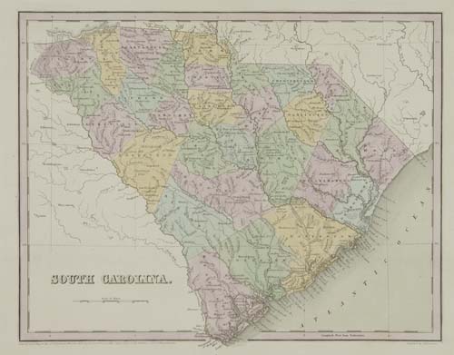
TANNER / BRADFORD / COLTON. Composite atlas with 62 hand-colored maps of North America or parts thereof. Folio, 415x380 mm, modern 1/4 cloth over old marbled boards; all maps bound in on wide tabs, except for two which are mounted on the pastedowns, all maps exceptionally bright and clean. United States, vd

Additional Details


Maps are from Tanner's New Universal Atlas (engraved editions of 1836, 1839 and 1842/3 only - single pink border), Bradford's Illustrated Atlas of the United States (large-paper 1838 edition only, many with unusual pink borders), and Colton's large folio atlas (1855 thru 1861). Virtually all of the Tanner and Bradford maps are of individual States, the Colton maps of western States only (KS/NE, UT/NM, WA/OR). There are 36 Tanner maps (1 dated 1833, 1 dated 1834, 8 dated 1836, 9 dated 1839, 3 dated 1840, 9 dated 1841, 5 undated); 16 Bradford maps (all dated 1838), 8 Colton maps (from the 1855 - 1861 editions of his large folio atlas). On the pastedowns are maps by Burr and Finley. An original sheet from the 12 December 1834 issue of The National Gazette and Literary Register is mounted on a guard - with a 2-column article on Tanner's Map Publishing Establishment in Philadelphia.